59
NRST
The GPSMAP 295’s
NRST
key provides detailed information on the nine nearest airports, VORs,
NDBs, intersections and user waypoints within 200 miles of your present position. Information
regarding the five nearest FSS (flight service station) and center (ARTCC) points of communication,
along with associated frequency(s) is available, as well. When an airspace alert is provided, the Nearest
Pages will even provide additional detail about the airspace.
On the ground, use the
NRST
key to display up to 50 nearest cities, highway exits and (with
optional MapSource data) 50 points of interest in each category.
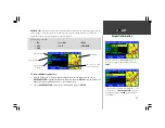
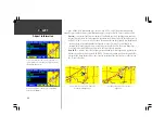
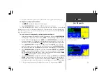
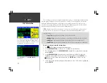
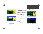
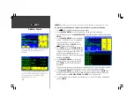
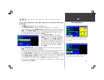
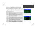
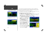
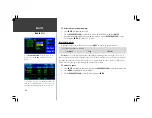
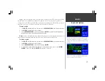
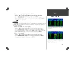
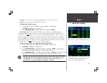
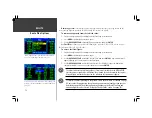
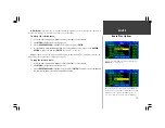
The Nearest Pages are organized by a series of file tabs across the top of the page. The following
information is displayed on the Nearest Pages:
AIRPORT
nine nearest with identifier, bearing to and distance, length of longest runway, and
field elevation.
VOR
nine nearest with identifier, facility type, bearing to and distance, frequency, and
co-located weather broadcast availability.
NDB
nine nearest with identifier, bearing to and distance, frequency and co-located
weather broadcast availability.
INT
nine nearest with identifier, bearing to and distance.
USER
nine nearest with name, bearing to and distance.
ARTCC
five nearest with bearing to, distance and frequency(s)
FSS
five nearest with bearing to, distance, frequency(s) and VOR (for duplex operations)
AIRSPACE
up to four (depending on number of alerts provided) with name, time to entry
(when applicable) and status.
CITY
up to 50 nearest with name, state/province, bearing to and distance.
EXIT
selectable by highway number; places you in the list at the nearest exit from your
location; displays exit number, exit name or crossing road, bearing to and distance.
POI
up to 50 for each selectable category; displays current category and criteria, name,
bearing to and distance.
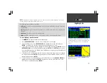
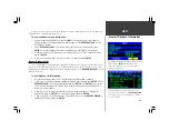
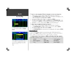
Nearest Pages / File Tabs
The Nearest Pages can be used for emergencies, to retrieve
database information, to view airspace information once an
alert is provided or to select a nearby point as a destination.
Nearest pages are also provided for use on the ground. A list
of nearby cities, highway exits and points of interest are
always available.
Содержание GPSMAP 295
Страница 1: ...Introduction 1 GPSMAP 295 Pilot s Guide Reference...
Страница 2: ...2 Introduction...
Страница 114: ...104 Appendix G...
Страница 115: ...Appendix G 105...

