


57
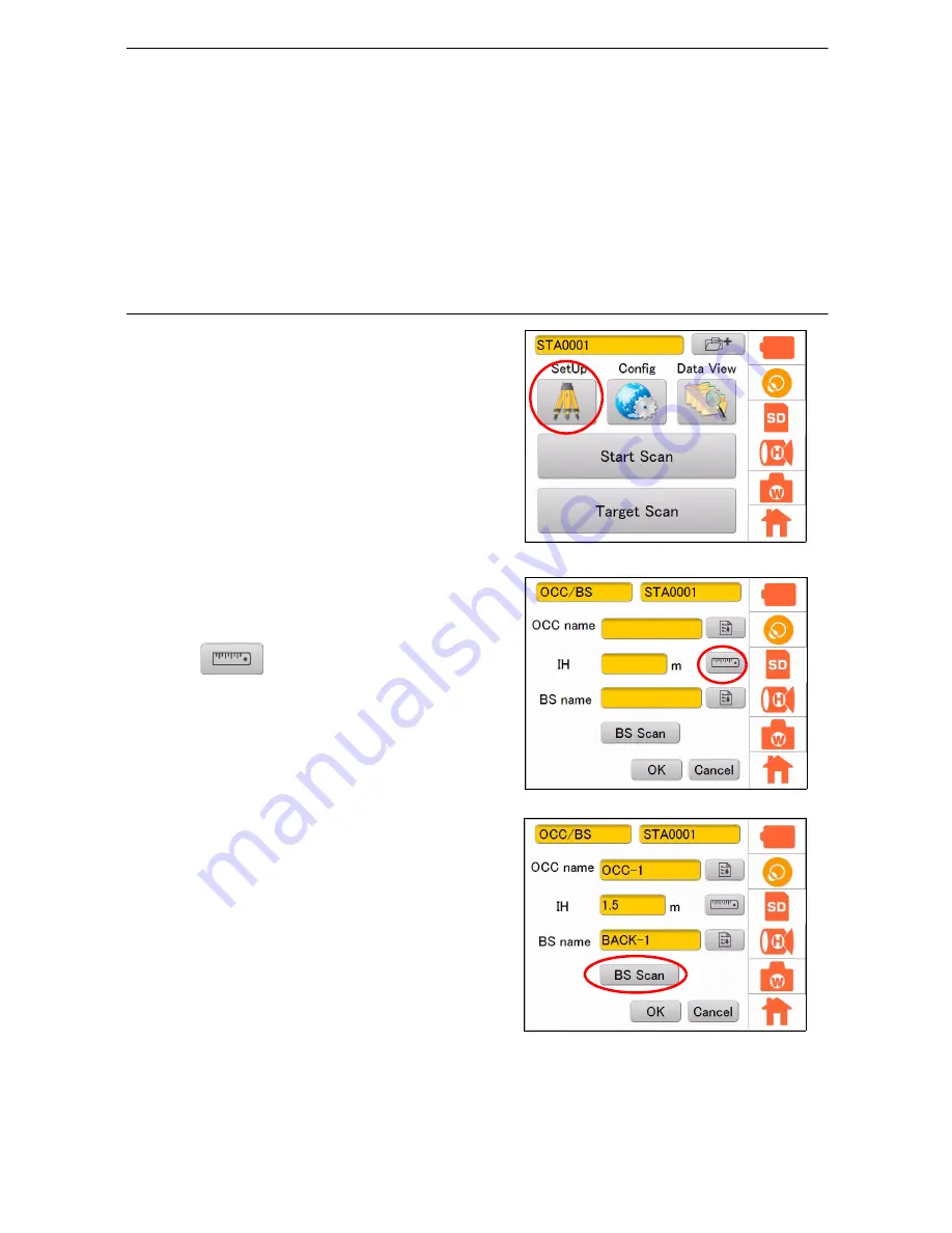
9. STATION SETTINGS
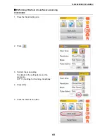
Importing the point name (Occupied point or Backsight point)
After entering the occupied point name and the backsight point name, perform target scanning on the
backsight point. When calculating with a PC after measuring, it is possible to set the coordinates of the
occupied point and the backsight point.
[Configuration example] Configure the settings as follows:
Occupied point name
: OCC-1
Instrument height
: 1.5m (depending on the measurement result)
Backsight point name
: BACK-1
PROCEDURE
1. Press the SetUp icon.
2. Tap on the occupied point name
input-editor
, and
then enter the occupied point name.
3. Press
, and then press [Meas] to
measure the instrument height.
(Instrument height (IH) can also be entered
directly.)
4. Enter the backsight point in the same manner
as the occupied point name.
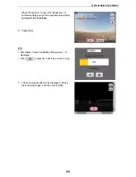
5. Press [BS Scan].
The image will be displayed.