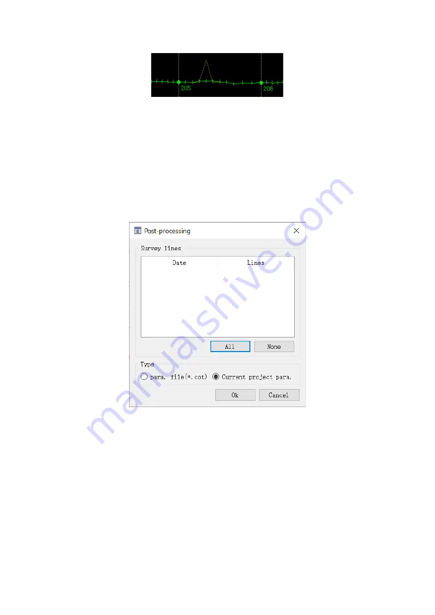
Fig.3-118 Edit depth
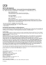
Post-processing
—The software will record the detail information of the points in the survey
line file during the measurement, including the WGS84 coordinates of the measuring point.
Generally, the coordinate conversion should be completed before the measurement, in the case
of incorrect parameters were used, the coordinate conversion can be performed through the
post-processing. And there are 2 methods for the processing, one is to use parameters file(*.cot),
the other one is to use the current project parameters.
Fig.3-119 Post-processing
File export
—The survey line saves all the original data of the survey point, such as point name,
date, time, coordinates, satellite number and solution status, etc. At the same time, the data
should be adjusted according to the requirement, such as echosounder adjustment, dynamic
draft adjustment and so on. After the survey line data is corrected, not all the information is
needed.


