Delete by area
—Delete the drawn point, line, straight line, curve, point symbol and the other
graphic data within the selected frame.
Delete all
—Delete all the drawn point, line, straight line, curve, point symbol and the other
graphic data.
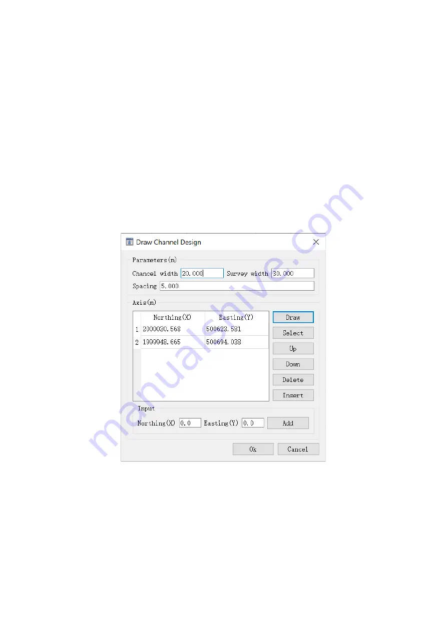
Channel design
—This channel design is mostly used for the depth survey in inland waterways.
This way only needs to draw the central axis, then the working lines would automatically
generate according to the input channel width and survey width, as well as the line spacing.
There are 3 ways to draw the channel central axis, (1), enter the nodes coordinate and click Add
button; (2), use mouse to draw the axis on the screen; (3), select the existing channel axis on the
screen by clicking Select button.
Fig.3-81 Channel design


