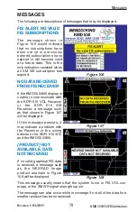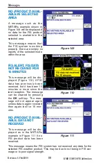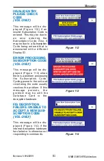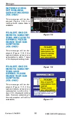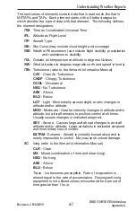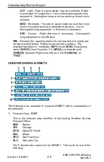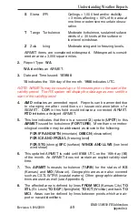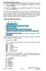
Revision 6 Feb/2009
A-1
KMD 550/850 FIS Addendum
Appendix A
Understanding Weather Reports
APPENDIX A
UNDERSTANDING TEXTUAL AVIATION
WEATHER REPORTS
UNDERSTANDING METARS
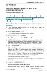
Refer to the numbers on the following diagram to find the appropriate
descriptions.
1.
Type of Report:
METAR
(SPECI will be seen here if this is a
Special Weather Report)
2.
ICAO Station Identifier:
KPIT
This is the location for which the METAR pertains.
3.
Date and Time of Issue:
201955Z
The
20
th day of the month at
1955Z
ulu or UTC.
4.
AUTO
indicates the reporting station is an automated station. If the
reporting station is a manned station this element will be omitted.
Also, if a report from an automated station is modified by a person
this element will be omitted. “COR” indicates a corrected report.
5.
Wind:
22015G25KT
220
is the 3 digit true direction to the nearest 10°. Airport advisory
service, ATIS and ATC towers report wind direction as magnetic.
“VRB” in this place indicates variable winds less than or equal to 6
knots. If wind direction is varying more than 60° with speeds over 6
knots, an entry similar to “180V260” will be displayed in this place.
This example actually shows wind direction varying by 80°.
15
is the 2 or 3 digit wind speed (in knots).
25
is the 2 or 3 digit wind gust speed in knots (
KT
) because it follows a
G
(Gust).
6.
Visibility:
3/4SM R28R/2600FT
3/4
indicates 3/4 statute mile (
SM
) visibility.
Runway Visual Range (RVR) for
R28R
(runway 28 right) is 2600
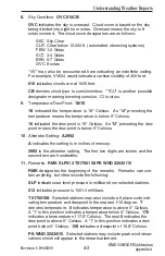
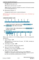
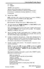
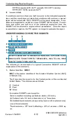
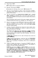
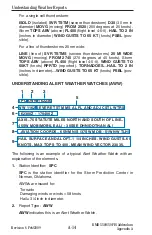
METAR KPIT 201955Z AUTO 22015G25KT 3/4SM R28R/2600FT TSRA OVC010CB
18/16 A2992 RMK SLPO13 T01760158 PK WND 22030/15 $
1
3
4
5
2
6
7
8
9
10
11
12

