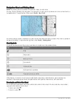
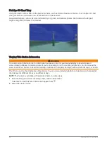
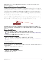
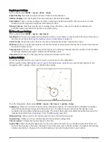
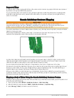

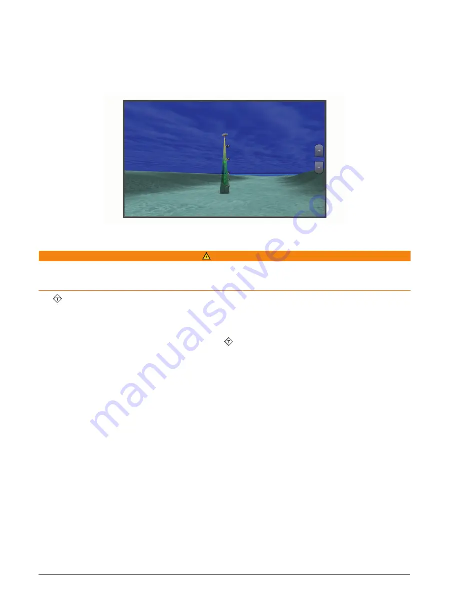
Fish Eye 3D Chart View
Using the depth contour lines of the premium charts, such as Garmin Navionics , the Fish Eye 3D chart
view provides an underwater view of the sea floor or lake bottom.
Suspended targets, such as fish, are indicated by red, green, and yellow spheres. Red indicates the largest
targets and green indicates the smallest.
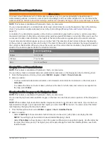
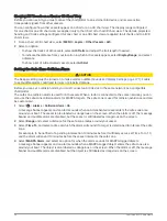
Viewing Tide Station Information
WARNING
Tide and current information is for information purposes only. It is your responsibility to heed all posted
water-related guidance, to remain aware of your surroundings, and to use safe judgment in, on, and around the
water at all times. Failure to heed this warning could result in property damage, serious personal injury, or death.
The icon on the chart indicates a tide station. You can view a detailed graph for a tide station to help predict
the tide level at different times or on different days.
NOTE: This feature is available with premium charts, in some areas.
1 From the Navigation chart or Fishing chart, select a tide station.
Tide direction and tide level information appear near .
2 Select the station name.
30
Charts and 3D Chart Views
Summary of Contents for GPSMAP1222
Page 1: ...GPSMAP 10X2 12X2SERIES Owner sManual...
Page 14: ......
Page 213: ......
Page 214: ...support garmin com GUID C3CEA164 A1CB 4B15 92F2 5C04944CC6F3 v21 January 2024...