46
GETTING START-
ED
Using the GOTO
Key
Map Page Options (con’t.)
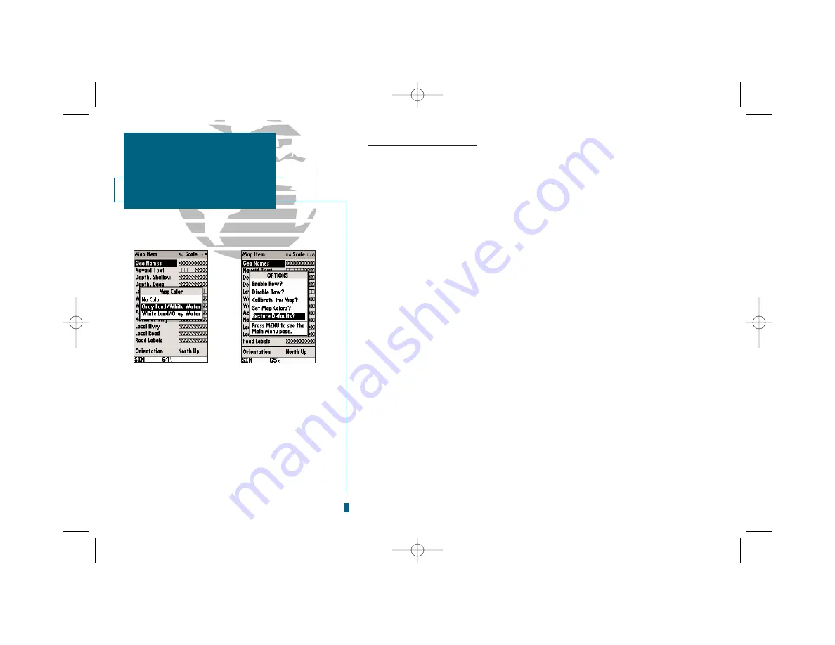
•Set Map Colors?:
The next option available from the map configuration page is the set
map colors option, which allows you to define the fill color (grayscale) of the land and
water used on the map display. Three options are available: no color (no fills for land or
water), gray land/white water (the default setting), and white land/gray water.
To select a map colors option:
1. Select the ‘Set Map Colors?’ option and press
T
.
2. Highlight the desired map color option and press
T
.
•
Restore Defaults?:
Resets all map configuration options to their factory settings.
To restore the map configuration options to the factory defaults:
1. Highlight the ‘Restore Defaults?’ settings and press
T
.
Press
Q
twice to exit the map configuration page and access the map display..
Press
O
on the map display to once again access the main options menu. The
next main menu option after Configure the Map is Setup Page Display.
• Setup Page Display?:
Allows you to specify what fields are displayed in the data win-
dow section of the Map Page by selecting one of the following display options:
SECTION
4
MAP PAGE
Map Colors, Restore
Defaults, Page Display
•2 Fields & Compass
•2 Fields & CDI
•4 Fields
•4 Fields & Compass
•4 Fields & CDI
•6 Fields
•6 Fields & Compass
•6 Fields & CDI
•8 Fields
•2 Fields & Sounder
•4 Fields & Sounder
A
B
A.
The color option allows you to define the fill color
(grayscale) of the land and water used on the map
display. Three options are available: no color (no
fills for land or water), gray land/white water (the
default setting), and white land/gray water.
B.
The default option resets all map configuration
options to their factory settings.
19000138.10A.QXD 11/11/99 8:47 AM Page 46


