- 37 -
1.3.3 COASTAL Line STORAGE
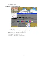
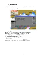
'1.3.2 Coastal data is saved into a storage tool in a coastal drawing.
n
Insert a tool to be saved.( Possible to omit when using Internal ROM, COM PORT)
☞
o
Press
(
) button and move [1.DATA]
¨
[3.USER’S LINE]
¨
[3.SAVE].
p
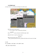
After input 4 digits of a file name by using a direction button,
(
) button
or number button and then, press
(
). ( Numbers can be possible only in file name)
☞
q
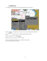
After select a tool to be saved, press
(
) button.
y
Internal ROM : Possible to save one file only.
y
C-User CARD : Possible to save several files.
y
COM PORT : Possible to send another SYSTEM through RS-232 for storage.
y
SD CARD : Possible to save several files.
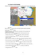
“L” is attached and saved in the front of the file name auto-input and it means a Line.
【
NOTE
】☞
Coastal line file storage
1. Convenient for management when input a file name with a date unit.
eg
) 17
th
of June
→
L0617
2. In using a new C-User card, you must use it after making a initial disc once.
(
☞
Refer to
'1.6 DISK FORMAT'
)
Summary of Contents for FEG-881
Page 1: ...FEG 881OPERATION MANUAL 8 INCH COLOR GPS PLOTTER FISH FINDER...
Page 5: ...1 This chapter provides an overview of the GLOBAL POSITIONING SYSTEM GPS 1 GPS PLOTTER...
Page 21: ...17 Day Night Mode in Plotter Display Press Open the menu such as Transparency Day Night mode...
Page 23: ...19 Fish finder Combo Display Fish finder Display...
Page 105: ...101 APPENDIX 2 CONNECTING PINS...
Page 106: ...102 DIMENSIONS need more than 100mm for service space in main body rear unit mm...
Page 107: ...103 INSTALLING TO THE MAIN BODY...
Page 111: ...107...


