Pub. # OM20-MSP3-3D
4-2
The SoilViewer Mapping software will automatically detect which ports the Veris VSense Controller
and pH Controller are connected to, and begin communicating. If either is not detected, the
software will wait 45 seconds for the connection of the electronics and search again; this will
repeat until both instruments are connected. If the electronics are not found, unplug the serial or
USB cables and reconnect them to the PC. If the connections are still not made, refer to
SoilViewer troubleshooting. The conditions for mapping and storing the data are as follows. The
user must be going a speed greater than 1 mph, there must be a GPS signal received that
includes position and speed (GGA and either VTG or RMC), the OM/EC Comm Light must be
green, indicating the PC and VSense controller are communicating properly, and either of the EC
values has to be greater than -1.
Before mapping, run the OM system check and pH system check to ensure everything is
operating correctly. pH controller settings can be modified to adjust the wash and cycle
times for specific field conditions.
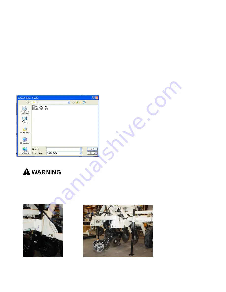
Figure 3
Pinch point hazard: to prevent injury, stand clear when raising or lowering any part of the
Veris MSP3-3D.
Install all transport locks before transporting or working underneath.
Always use the service stands when working underneath the MSP3-3D.
Figure 4
Figure 5
After clicking on EC OM
pH- MSP3 the user will
be prompted to input the
EC file name. All OM
and pH files will be
named the same as the
EC. Files may be
appended to by
selecting a previously
created VSEC file.


