


http://www.CompeGPS.com http://Support.CompeGPS.com 45
Reproduce track:
Animation of the itinerary will be displayed. During the
animation, the simulated position will become the prevailing one instead of
your current position, position will be centred on it and the statistics will be
related to it. Do a track simulation from:
List of tracks:
Open the contextual menu on the track that you
want to simulate and press
‘Play’
.
Map window:
Find the track that you want to simulate, open its
contextual and press
‘Play’
.
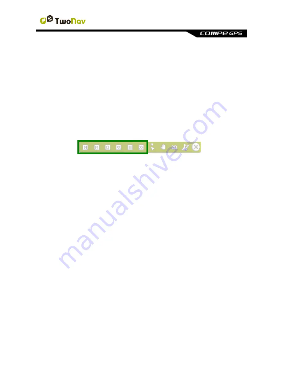
With the simulation on, the simulated position will be displayed with a different
icon to distinguish it from your current position. At the same time, some tools to
manage the simulation will appear at the tool bar:
Pause:
Pause function. Press it again to resume the simulation.
FF/RW:
Accelerate the simulation. Press it again to apply normal speed.
FF to next/RW to prev.
: Jump to next event.
Stop:
Stop the simulation (
‘Main menu > Discover > Stop simulation’
).
7.2
Geocaching
7.2.1 What is geocaching?
TwoNav provides you all the necessary tools to practice paperless geocaching.
Geocaching tools are centralized in
‘Menu > Discover > Geocaching’
. Work with
geocaching files like as any other waypoints file, although geocaches include
extra information comparing to normal waypoints. Among information, you can
check notes from other users (
logs
) or even create your own notes.
7.2.2 Supported formats
In order to be fully compatible with paperless g
eocaching, waypoints’ file needs
to have geocaching extensions providing information about geocache
(descri
ption, difficulty, terrain…).
TwoNav can open the following geocaching formats:
*.WPT
*.BWPT
*.GPX