Black plate (25,1)
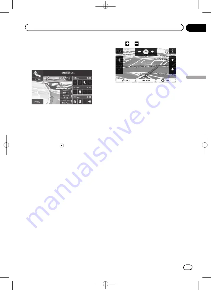
An icon showing a petrol station or a restau-
rant will appear on the map during you are
driving on motorways. Touch the icon to open
the details of the next few exits or service sta-
tions.
Motorway exit services
p
You can add any of them as a waypoint to
your route.
=
For details, refer to
p
If you want to display other types of POIs
for the exits, you can change the icons in
“
Visual Guidance Settings
”
.
=
For details, refer to
Operating the map screen
Changing the scale of the map
You can change how much of the map is dis-
played on the screen with street names and
other text displayed in the same font size.
1
Display the map screen.
=
For details of the operations, refer to
2
Touch anywhere on the map during na-
vigation.
The map stops following the current position
and control keys appear.
3
Touch
or
to change the map scale.
p
Map scaling has a limit in 3D map view
mode. If you zoom out further, the map
switches to 2D view mode.
=
For details, refer to
4
Touch [Back] to move the map back to
follow the current GPS position.
Smart Zoom
Your navigation system features
“
Smart Zoom
”
that works in two ways:
!
When the route is set:
When approaching a turn, it will zoom in
and raise the view angle to let you easily re-
cognise your manoeuvre at the next junc-
tion. It the next turn is at a distance, it will
zoom out and lower the view angle to be
flat so you can see the road in front of you.
!
When the route is not set:
“
Smart Zoom
”
will zoom in if you drive
slowly and zoom out when you drive at
high speed.
Switching the map orientation
You can switch how the map shows your vehi-
cle
’
s direction between
“
Heading up
”
and
“
North up
”
.
!
Heading up:
The map display always shows the vehicle
’
s
direction as proceeding toward the top of
the screen.
!
North up:
The map display always has north at the
top of the screen.
<127075005641>25
Engb
25
Chapter
05
How
to
use
the
map
How to use the map


