19
2.9 GPS
The MSA 340 is
equipped with
a GPS (Global
Positioning
System) receiver,
and allows for
visualization
and storage of
the geographical coordinates (latitude, longitude) of the fusion
location.
The acquisition of the coordinates is done just before starting the
fusion process. At that time, the processor must be near the exact
position where the fusion is to be performed.
In order for the processor to acquire the GPS coordinates, the
unit must be static (no motion) and preferably in open air. To
allow the unit to identify the position with accuracy, a warm up
time must be ensured: the unit should be powered on for at least
5 minutes to allow it to acquire the satellite(s) signal.
After the
required
warm up
period, if
GPS signal
has been
acquired,
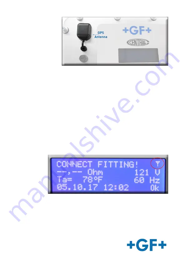
an icon will
appear in the upper right hand corner of the display. When the
icon is present, the GPS coordinates for each individual fusion are
stored in the fusion memory. If the icon is not present, GPS signal
has not yet been acquired or has been lost.


