SV-D700, SV-D1000 and SV-D1000T Operation
SkyView Classic Pilot’s User Guide –
Revision Z
4-32
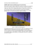
MODE
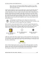
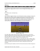
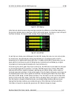
Figure 61
-
PFD Display Mode Selection Options
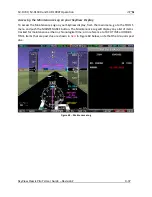
Enter the Mode menu to:
•
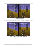
Turn on/off synthetic vision.
•
Toggle between normal and wide PFD view.
•
Turn on/off terrain alerts in synthetic vision.
•
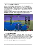
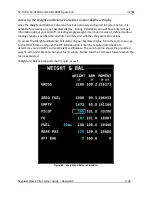
Turn on/off highway in the sky.
•
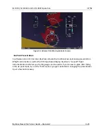
Turn on/off airport flags.
•
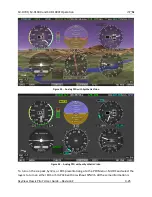
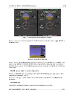
Toggle between PFD tape mode and six-pack mode.
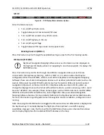
Bearing Source 1 (BRG 1)
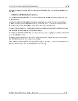
Press this button to cycle through the available bearing sources for the first bearing needle.
HSI Source (HSI SRC)
SkyView’s Navigation Mapping Software course information can be displayed on
the SkyView HSI display when it is navigating to an active waypoint. It is always the
SKYVIEW source.
Press this button to cycle the HSI through the different navigation data sources that are
connected to the SkyView system (e.g., GPS 0-4, NAV 1-4, or custom names that may be
configured). Other than SKYVIEW, which is sourced from SkyView’s own Navigation M
apping
Software, these are all external navigation devices such as other portable GPS units (such as the
Garmin 496), panel mounted IFR GPS systems (such as the Garmin 430), and panel-mounted
navigation radios (such as the Garmin SL30). In SkyView software version 10.0+, pilots can
change the displayed names of external GPS and NAV radios to custom names (e.g. GPS 1 could
become “GTN650”, for example). These names appear on the PFD HSI Info Item, and for ARINC
IFR GPSs such as the GTN and GNS series, in the Flight Plan menu as well (see Navigation
Mapping Software features for more details). Reference the SkyView System Installation Guide
for more information regarding external serial navigation device installation, configuration and
naming.
Note that using the HSI SRC button to toggle the HSI source does not affect what is displayed on
the SkyView map: It normally displays the flight plan from SkyView’s own GPS mapping
capabilities. However, note that from within the MAP Menu there exists a feature that allows
one to display flight plans from external IFR GPS devices on the map.

