Editing Drill Data
DigiTrak
®
F5
®
SST
®
Operator’s Manual
51
Drill Plan
Drill plan data points include the horizontal distance from the drill rig, the relative depth, and the planned
right/left course deviation. These drill plan points (Plan Pt.) can be inserted, edited, imported, or removed
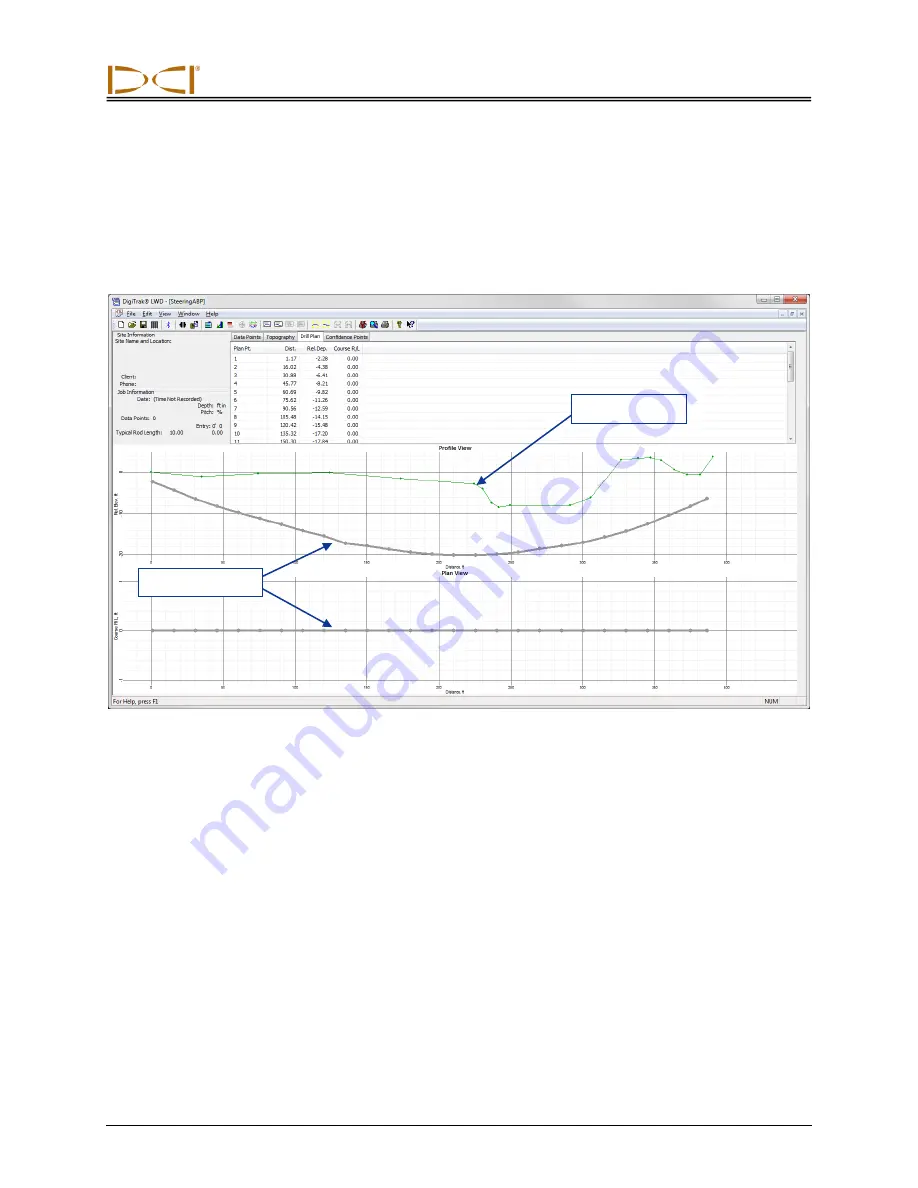
from the drill plan table as described below. The drill plan graph, which is the planned bore with the
measured terrain, appears as shown below.
Drill Plan with Terrain
Inserting Drill Plan Data Points
To insert the first or next sequential drill plan point on the table:
1. Right-click in any blank cell in the drill plan data table and select Insert. A new plan point will
display in the data table and on the chart with default depth, relative elevation, and course
deviation values.
2. Edit the drill plan data values, if necessary.
Drill plan graph
Terrain graph


