LX Traffic Square
Advanced operation
Document name:
LX_SQUM
Document revision:
R1
4.2.4
Airport navigation page
The
Airport
navigation
page
is
set
up
in
much
the
same
way
as
the
, so be sure to check the previous section for additional in-
formation.
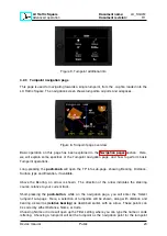
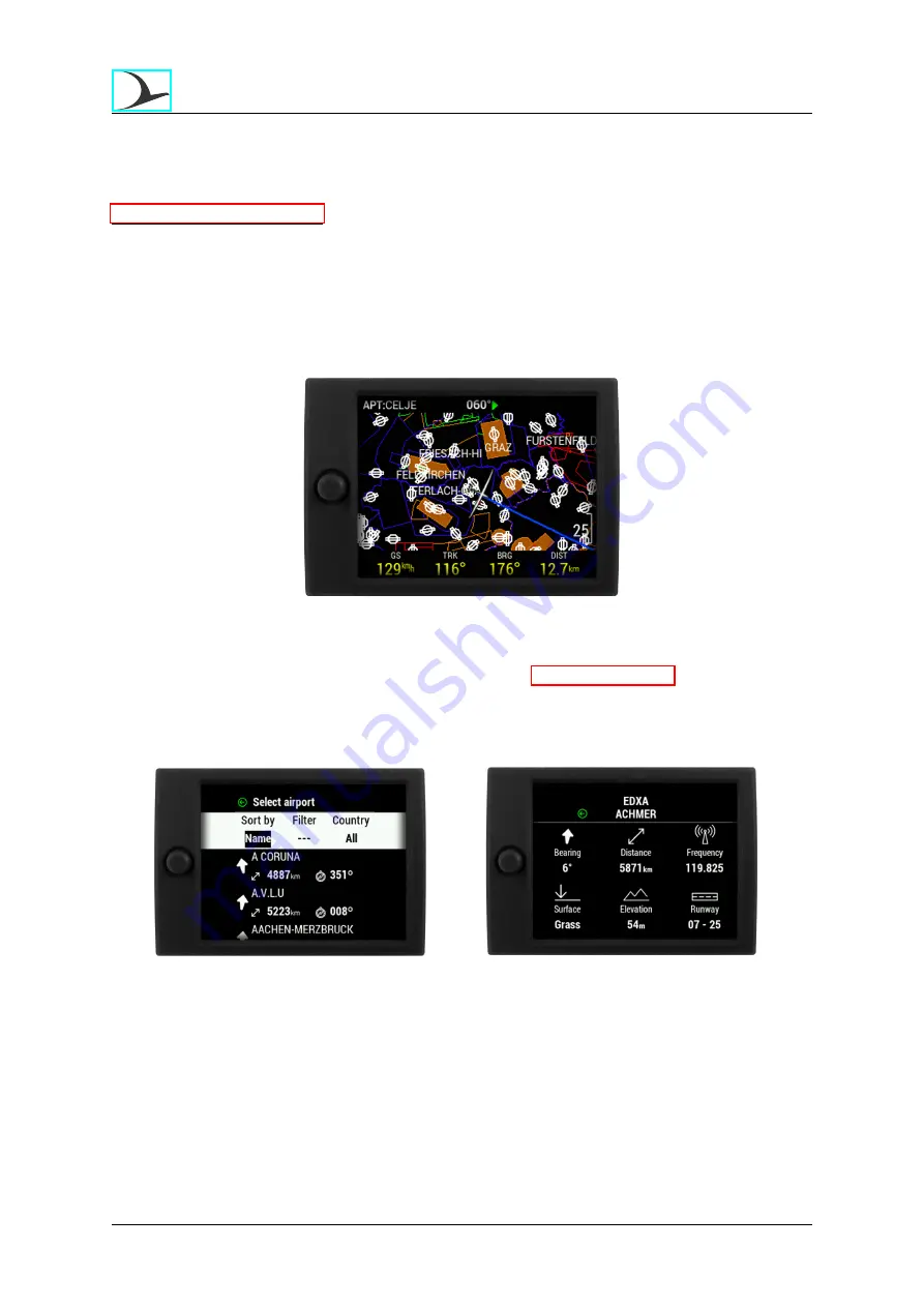
This page is used for navigating towards a single airport, from the .af file loaded into the LX
Traffic Square. The navigation screen shows turnpoints, airports and airspaces on the map
area.
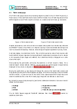
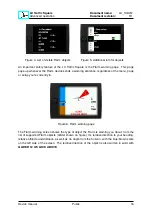
Figure 12. Airport navigation page overview
Basic operation on this page has been explained in the
section. Here, we
will explain some specifics of the Airport navigation page, and how to perform basic Airport
operations.
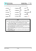
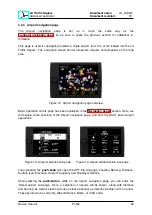
Figure 13. Airport selection sub-page
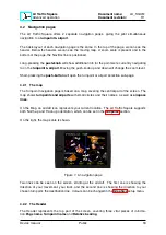
Figure 14. Airport additional info sub-page
Long-pressing the
push-knob
will open the APT info sub-page, showing Bearing, Distance,
Surface type, Elevation, Airport Frequency and Runway directions.
Short-pressing the
push-button
, while on the airport navigation page, you will enter the
’Select airport’ sub-page. Here, a selection of airports will be shown, along with distance
and bearing, as well as steering course (relative bearing) as described earlier, with an arrow.
These points can be sorted by either Distance, Name, or ICAO code.
Device manual
Public
22

