Waypoints, Routes, and Trails
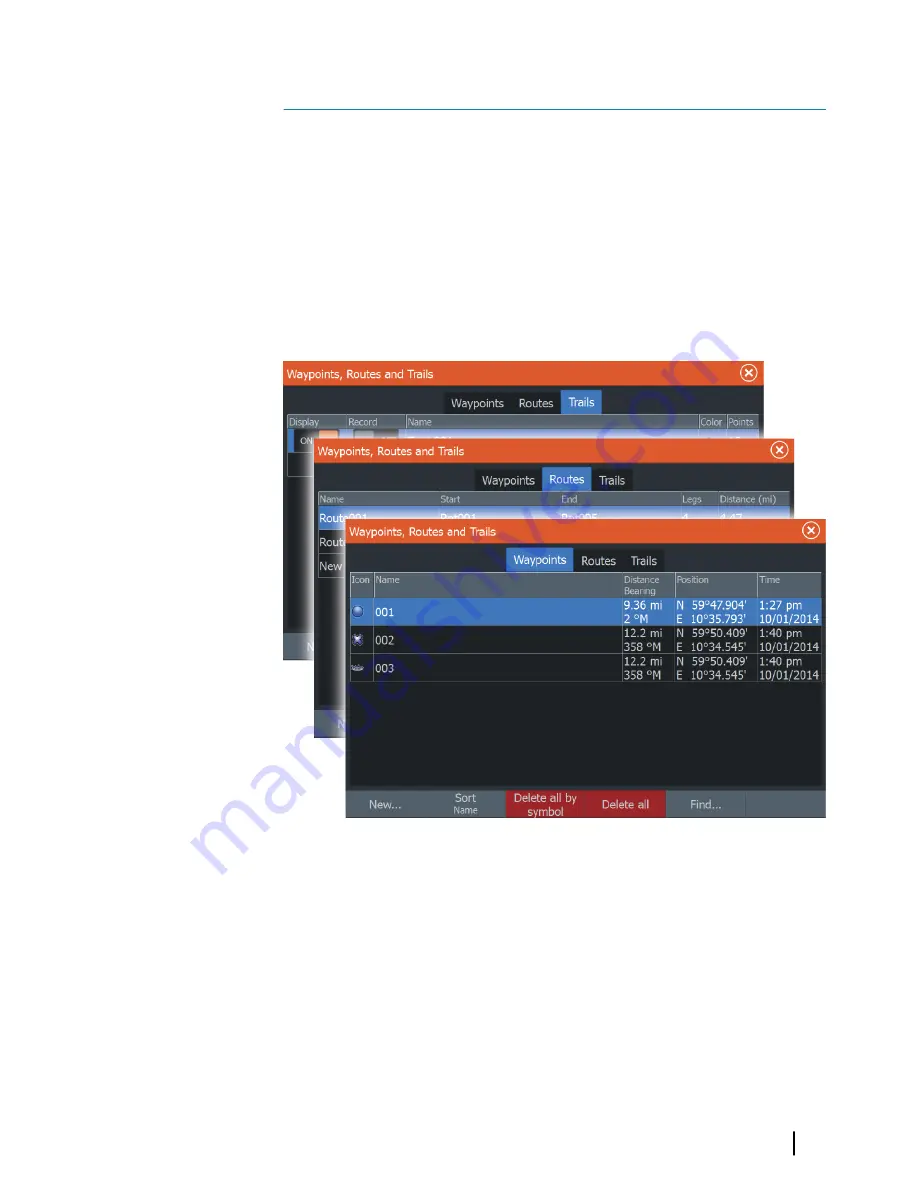
Waypoints, Routes, and Trails dialogs
The Waypoints, Routes, and Trails dialogs give access to advanced
edit functions and settings for these items.
The dialogs are accessed from the
Tools panel
on the
Home
page
or from the chart
Settings
dialog.
Waypoints
A waypoint is a user generated mark positioned on a chart, on a
radar image or on the Sonar image. Each waypoint has an exact
position with latitude and longitude coordinates. A waypoint
positioned from the Sonar image has a depth value, in addition to
position information.
5
Waypoints, Routes, and Trails
| HDS Gen3 Operator Manual
49
Summary of Contents for HDS Gen3 Touch
Page 1: ...ENGLISH HDSGen3 Operator Manual lowrance com...
Page 2: ......
Page 8: ...8 Preface HDS Gen3 Operator Manual...
Page 14: ...14 Contents HDS Gen3 Operator Manual...
Page 57: ...Waypoints Routes and Trails HDS Gen3 Operator Manual 57...
Page 148: ...148 Alarms HDS Gen3 Operator Manual...
Page 156: ...156 Touchscreen operation HDS Gen3 Operator Manual...
Page 165: ......
Page 166: ...988 10740 001 0980...


