88
Leica mojo3D, Setting Guidance Types
Exporting Google
Earth and Shapefile
data for a selected
wayline, step-by-
step
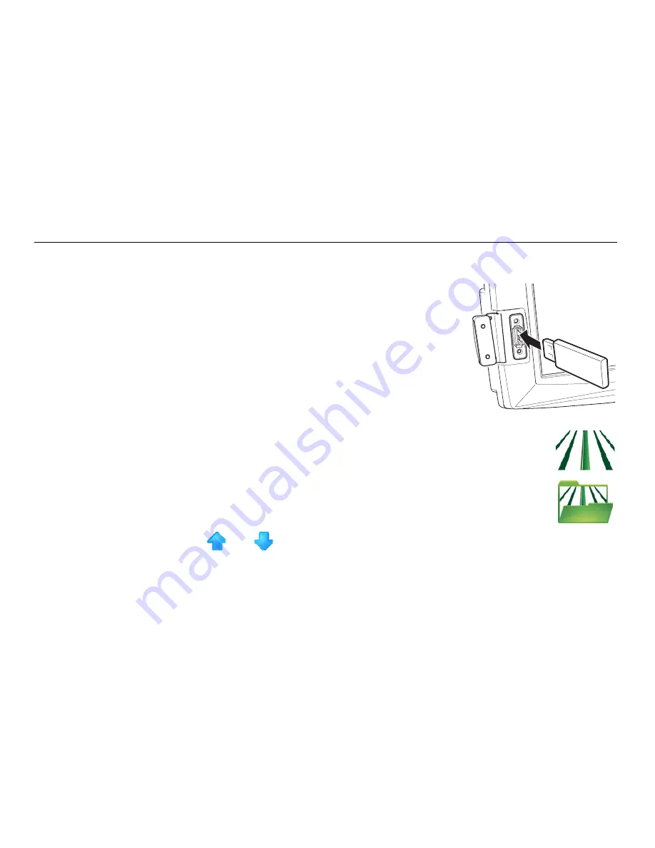
To export Google Earth and Shapefile data for a selected wayline, carry out the
following steps:
1. The USB interface is on the lower left front of the
mojo3D display. Lift the rubber cover and insert a
compatible USB Flash Drive into the USB slot.
2. On the main navigation screen, tap the
guidance
button.
3. On the flyout menu, tap the
wayline management
button.
The Guidance Management screen appears.
4. Tap
and
to scroll though the list of waylines. To select the
wayline to export, tap the
wayline’s name.
mojo3D_010
Summary of Contents for mojo 3D
Page 1: ...Leica User Manual mojo3D Version 3 0 English...
Page 19: ...Leica mojo3D System Overview 19...
Page 31: ...Leica mojo3D System Installation 31...
Page 50: ...50 Leica mojo3D Running the mojo3D for the First Time Flyout Menu Example...
Page 67: ...Leica mojo3D Running the mojo3D for the First Time 67...
Page 84: ...84 Leica mojo3D Setting Guidance Types 5 Tap to return to the main navigation screen...
Page 127: ...Leica mojo3D Auto Steer 127...
Page 145: ...Leica mojo3D Treatments 145 8 To return to the main navigation screen tap the button...
Page 177: ...Leica mojo3D Field Boundary 177...
Page 225: ...Leica mojo3D Correction Sources 225...
Page 233: ...Leica mojo3D NMEA Output 233...
Page 245: ...Leica mojo3D Virtual Wrench Remote Service 245...
Page 264: ...264 Leica mojo3D Safety Directions 14 9 Labelling Labelling mojo3D CDMA unit mojo3D_011...
Page 265: ...Leica mojo3D Safety Directions 265 Labelling mojo3D HSDPA unit mojo3D_012...
Page 267: ...Leica mojo3D Safety Directions 267...
Page 305: ...Leica mojo3D Technical Data 305...
Page 373: ...Leica mojo3D GNU General Public License 373...
Page 377: ...Leica mojo3D Glossary of Terms 377...


