B A S I C O P E R AT I O N
Navigation
1.5
Navigation
Your GPS receiver receives signals from Global Positioning System satellites that are in fixed orbits (stationary relative to the ground) around the
earth. By acquiring—or locking onto—the signals from at least 3 satellites, your receiver can use triangulation to precisely determine your
current position, elevation above sea level and bearing (the direction you are traveling). As you travel, the receiver automatically acquires the
strongest satellite signals available at your current location.
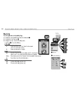
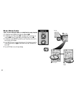
Your GPS receiver is already programmed with U.S. state, Canadian provincial and European country boundaries; worldwide cities; U.S.
interstate freeways and highways; and U.S. interstate freeway and highway exits and exit details. With optional mapping software, interface
cable and SD Memory Card (needed for map downloading), you can access a computer mapping database to download additional mapping
information that includes points of interest, local roads and streets, intersections and addresses.
By becoming familiar with the receiver’s basic operating features, you will be able to use its powerful navigational capabilities.
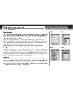
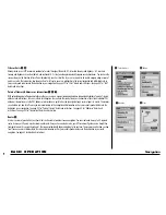
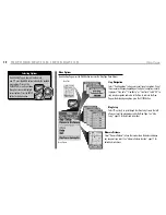
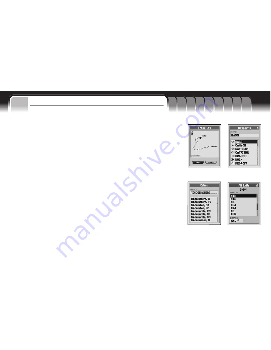
Tracks
1
Your GPS receiver automatically keeps a record of your travel, called a track. The receiver shows you a map-like picture of your track. You can
create and store up to 10 different tracks. Each track can be recalled and used for navigation as the receiver shows you how to retrace the track
again (either forward or in the reverse direction), how far off course you are in relationship to the track and information such as your current
speed or distance to destination in your track navigation. When traveling in unfamiliar territory, this is a quick and easy way to make sure you
always know how to get back to your starting point.
See page 27 for details and instructions.
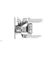
Waypoints
2
In this manual, you will learn how to mark your current location as a waypoint, save cities, addresses, intersections, points of interests or exits
as waypoints or set the coordinates for a waypoint anywhere in the world. You can create and store up to 500 waypoints. You can have the
receiver show you the direction of travel to an individual waypoint or how to navigate along a series of waypoints in a route. The receiver can
also show you how far off course you are in relationship to the waypoint navigation and information such as your current speed or distance to
the destination in your waypoint navigation.
See page 32 for details and instructions.
1
Track
2
Waypoints
3
Cities
4
Exits


