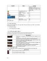
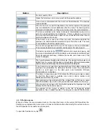

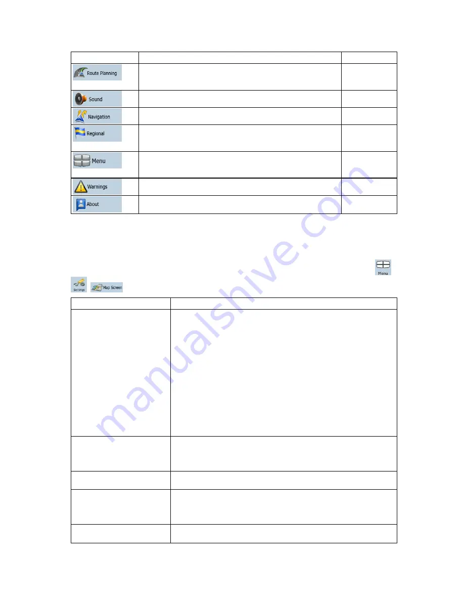
Button
Description
Reference
These settings determine how routes will be calculated.
page
Error!
Bookmark not
defined.
You can adjust the volume of application sounds.
You can control how XSG2 behaves during navigation.
page 51
These settings allow you to select local language,
measurement units, time and date settings and formats, as
well as to choose the voice guidance profile you prefer.
page 52
You can modify the look and behavior of the Menu screens.
page
Error!
Bookmark not
defined.
You can enable speed warning.
page 53
This screen has no navigation feature. It contains licensing,
safety, map revisions and customer support information
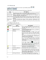
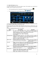
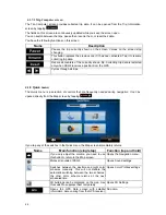
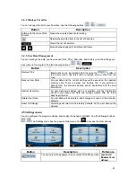
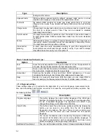
4.5.1 Map Screen settings
You can fine-tune the appearance and content of the Map screen. Tap the following buttons:
,
,
.
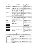
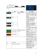
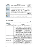
Button
Description
3D Settings (Premium Option) Use 3D settings to determine which of the present 3D objects are
shown on the map, and adjust the level of 3D visual detail. The
options are as follows:
Landmarks: Landmarks are 3D artistic or block representations
of prominent or well-known objects. 3D landmarks are only
available in selected cities and countries.
Elevated Roads: Complex intersections and vertically isolated
roads (such as overpasses or underground tunnels) are
displayed in 3D.
Building Visibility: Full 3D city building data that represents
actual building size and position on the map. Building data is
limited to the city centers of major cities in the US and Europe.
Terrain Detail Level: 3D terrain map data shows changes in
terrain, elevations or depressions in the land when you view the
map, and use it to plot the route map in 3D when you navigate.
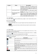
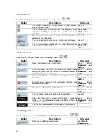
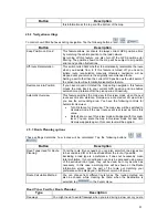
Color Profiles
XSG2 is able to show the map and the menus in different colors
during the day and during the night. Select the color profiles to be
used in each mode, and select the automatic or manual switching
between the daytime and night color profiles.
Elevation on 2D Map
2D maps can also display 3D information. These top-down maps can
display elevation by colors and shading.
Street Names During
Navigation
Street names and POI icons can be disturbing on the map during
navigation. With this switch you can suppress these map elements
when XSG2 is following your position on the map. If you move the
map, both the street names and POI icons reappear immediately.
Lane Information
Some maps contain lane information to help you position your car in
the upcoming intersection. This setting tells XSG2 whether to display
50


