background image


Installation and Operation Manual 

29 

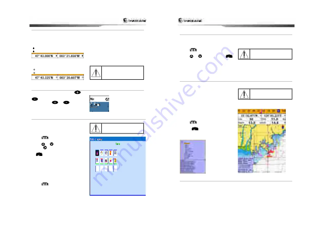
4-7-3 Latitude and longitude                                                                                                                       

Latitude and longitude coordinates define a 
position on earth and can be displayed in 
data bar. 
In the data bar, own ship position is shown 
as below:   


47° 43.000’ N or S Latitude 


003° 21.656’ E or W Longitude


However, if you move the cursor, then the 
latitude and longitude in the data bar is the 

cursor’s position as below.


47° 43.325 N or S Latitude 


003° 29.607 E or W Longitude 


Info 

Latitude

:

 Angular distance North or South of 

the equator measured by lines encircling the 
earth parallel to the equator in degrees from 
0° to 90°. 
Longitude

:

 angular distance North or South of 

the equator measured by lines encircling the 
earth parallel to the equator in degrees from 
0° to 90°. 


When reading the boat 
position, make sure the 
position is not the cursor 
position. 


4-7-4 Chart scale                                                                                                                                               

The chart scale change by pressing 


to 

show more detail information of chart and by 

  to show wider view of the chart.   

When you press 

  or 

, the scale of 

chart is display in the chart on top left corner.                     


4-7-5 Finding a chart symbol                                                                                                                           

This function is only available when 
NAVI01NICS SD card is inserted and 
NAVI01NICS is selected.   

 
To find a port by name   

1 Press 

2 Select 

Find

 then 

Port by name

3 Press 

  or 

to select a letter then 

press 

  for next letter. 

4 Once you enter the name of port, press 

5 After searching process, select a nearest 

port in the list then the cursor will place 
on the port you selected on the chart 
window. 

6 Repeat 2-3 steps of D section to display the 

information. 


To find port & service 

1 Press 

2 Select 

Find

 then 

Port & service

3 Select a service you want to find. 
4 After searching process, select a nearest 

service area in the list then the cursor will 
place on the service area you selected on 
the chart window. 


S-MAP does not support this 
function.   
(See 4-1 for chart selection) 


Installation and Operation Manual 

30 


4-7-6 S-Map

 search                                                                                                                                         

This function is available when NAVI01NICS 
SD card is inserted and NAVI01NICS is 
selected.   

To find port & service 

1 Press 

2 Select 

Find

 then 

Port

3 Press 

  or 

to select a port then

.   

4 After searching process, select a nearest 

port in the list then the cursor will place 
on the portyou selected on the chart 
window. 


NAVI01NICS Chart does not 
support this function.   
(See 4-1 for chart selection) 


4-7-7 Chart symbols and information                                                                                                       

This function is only available when 
NAVI01NICS SD card is inserted and 
NAVI01NICS is selected.   
 
Using NAVI01NICS Max card allows you to 
show different kind of symbols and their 
information on chart plotter display. On some 
objects such as a port, you can see a picture 
of landscape layout.   
 

To display information 

1 Move cursor on an icon to display its name. 
2 Press 

  and select 

Chart info

3 Move cursor key to highlight an item and 

press 

.   

4 Information related to the item appears at 

the bottom window.   

[Chart info]


S-MAP does not support this 
function.   
(See 4-1 for chart selection) 


[Chart symbol Data Box]


4-7-8 Introduction to navigating                                                                                                               

Use the navigation chart to plan your course, view map information, and as a navigational aid.   
This  unit  has  two  ways  of  navigating,  going  straight  to  a  waypoint  or  following  a  route  (a 
group of waypoints). 


Содержание AIS-50N

Страница 1: ...Installation and Operation Manual 2...

Страница 2: ...umentation may be translated to or has been translated from another language translation In the event of any conflict between any translations of the documentation the English language version of the...

Страница 3: ...lation and Operation Manual 6 4 7 7 Chart symbols and information 30 4 7 8 Introduction to navigating 30 4 7 9 Going to a waypoint or to a point on the chart 31 4 7 10 Following a route 31 4 7 11 Goto...

Страница 4: ...5 6 4 Format 52 5 6 5 Screen snap shot 52 5 7 AIS Settings 53 5 7 1 Display filter 53 5 7 2 Alarm option 53 5 7 3 Display options 53 5 7 4 Restore default 54 5 8 Alarms 55 5 8 1 Fish 55 5 8 2 Deep 55...

Страница 5: ...Message This is according to requirement of message includes voyage information or weather warning Static Information IMO number call sign vessel name length width of vessel vessel type Renewal of an...

Страница 6: ...nts System date and time PGN126992 Vessel Heading PGN127250 Engine parameters Rapid Update PGN127488 Engine parameters Dynamic PGN127489 Trip parameters Engine PGN127497 Engine parameters Static PGN12...

Страница 7: ...hem into the mounting hole 6 Attach the chart plotter to the mounting location by attaching the supplied hardware to the mounting studs Note Before drilling work check if there is enough space for dev...

Страница 8: ...er off is set the unit will not be turned off even though the boat s ignition is turned off To turn off you need to turn off the unit manually Installation and Operation Manual 16 2 5 SRM Safety Relat...

Страница 9: ...user to navigate utilizing several functions such as destination wake route etc Installation and Operation Manual 18 3 2 Screen change By button you can change screen AIS Plotter AIS AIS is the syste...

Страница 10: ...on screen Pushing in vessel list screen you can move to AIS screen Using left right direction keys you can select 2 message initial setting up items message initial setting up This shows the detailed...

Страница 11: ...GPS inner outer antenna of own vessel A B 0 511m C D 0 63m Region area setup is done as follows 1 After selecting antenna position setup item push 2 Select the item to set up using up down direction...

Страница 12: ...t top right side When the compass is displayed COG is always displayed in data field Also when you are navigating to a point COG and BRG is always displayed in data bar Tip COG Course Over Ground The...

Страница 13: ...when above window pops up select a desire display you want Adding a favorite display 1 Organize a window as you want 2 Press to show the main window 3 Select Save icon at the bottom 4 Select an icon w...

Страница 14: ...d CDI lines Distance and bearing of cursor from boat Land Sea The cursor A typical waypoint The built in world chart does not show enough detail for navigation When you use the Chart Plotter to naviga...

Страница 15: ...s of D section to display the information To find port service 1 Press 2 Select Find then Port service 3 Select a service you want to find 4 After searching process select a nearest service area in th...

Страница 16: ...Press and select start 4 Select Forward or Reverse to decide which direction you want to navigate Create Route Option 1 Press and select the chart window 2 Select New route 3 Name a route name 4 Move...

Страница 17: ...possible This unit can save up to 10 000 waypoints To display waypoint list press and select Waypoint icon 4 10 1 Creating a new waypoint To create a waypoint from the chart window There are two ways...

Страница 18: ...t can automatically advance to the next waypoint on a route So you do not have to change the destination waypoint repeatedly The unit has the capability to store 100 routes with maximum of 100 waypoin...

Страница 19: ...window 1 Highlight a route you want to delete 2 Press and select Delete Deleting all route in the route window 1 Press and select Delete All Displaying a route in the Chart window from the route list...

Страница 20: ...0 4 14 AIS AIS is an Automatic Identification System for identification and localization of boat AIS provide a means for boats to exchange and share boat data including identification position course...

Страница 21: ...ress window Displaying a distressed vessel in the chart window 1 Highlight a received distress call you want to display 2 Press and select Display Going to the distress position 1 Highlight a received...

Страница 22: ...Press and select Delete Deleting all poll 1 Press and select Delete all Tip Even though you delete a DSC call the DSC waypoints still exist Installation and Operation Manual 44 4 16 NAVTEX NAVTEX is a...

Страница 23: ...eading up North up North is at the top of the display Heading up When course is set the course is at the top of screen all the times Course up When destination is set it is at the top of the screen Th...

Страница 24: ...or off Object depths Turns the displaying of object depths on or off Spot soundings Turns the displaying of spot sounding on or off Sounding min Set the minimum depth limit to show depth sounding bath...

Страница 25: ...hen the GPS device is connected properly the GPS settings provide the access to GPS functions and features connected with the satellites information used for further navigation 5 4 1 GPS Source Select...

Страница 26: ...Reset trip dist Shows you the trip distance If you select this option it resets the trip distance Reset total dist Show you the total trip distance If you select this option it resets the total trip d...

Страница 27: ...tered 5 7 2 Alarm option Filter by speed Vessels with speed below the set value are filtered Show Dangerous Only When this option is selected it shows dangerous vessel only 5 7 3 Display options Insta...

Страница 28: ...gger an alarm when your boat moves off the current CDI scale Danger Trigger an alarm when your boat is getting closed to dangerous point 5 8 8 AIS See the Alarm option of 4 7 AIS Settings 5 8 9 DGPS T...

Страница 29: ...y engine data and Other instruments The chart plotter can receive data from other instruments and send data to other instruments by NMEA 6 2 Connections You can connect AIS 50N to power supply GPS ant...

Страница 30: ...in number 5 Pin number 2 Pin number 1 Fuse 2A Fuse 2A Ignition switch Ignition Power Data cable Pin number 5 Pin number 2 Pin number 1 Fuse 2A Installation and Operation Manual 60 6 4 Alarm Wire the c...

Страница 31: ...oaxial cable Connecting cable to body use BNC connector Please check the installation distance between VHF antenna other equipments GPS antenna 5M Compass 1M VHF antenna TX RX SAN 150 Installation and...

Страница 32: ...data to an autopilot or other instrument An autopilot requires APB APA and VTG sentences For information on sending NMEA data to the instrument contact Samyung ENC instruments set NMEA out and specif...

Страница 33: ...with transducer replacement other than the cost of the transducer itself 3 Routine system checkouts alignment and calibration seatrials unless required by replacement of defective parts Limited warra...

Страница 34: ...Installation and Operation Manual 67 Installation and Operation Manual 68...

Отзывы: