Rand McNally Foris
TM
User Manual
22
9.2 Search for geocaches
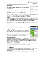
Tap "Geocaching > Search for geocache" and specify the desired
search center. The geocaches are then sorted according to their
distance from this point.
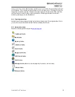
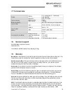
Once you have selected a geocache from the list, you can display
the geocache on the map by clicking on the map, navigate to it
directly by tapping "OK"
or call up the detailed view by tapping it
again.
9.2.1 Cache
list
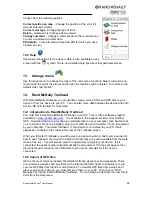
In the list view, all geocaches in the area surrounding your search
center are displayed, sorted by distance. You can also search for
cache names or cache codes by tapping "ABC" and entering the desired name or code. You
can also filter the geocaches according to specific criteria.
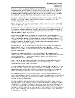
9.2.2 Filter
Filter geocache search results according to specific criteria.
Status -
Search for geocaches that are either unattempted, not
found, or where repair is needed.
Cache type –
Look specifically for one cache type or for several
cache types.
Cache size –
Choose a particular size of cache.
Difficulty –
Choose a particular level of difficulty.
Terrain –
Choose a particular difficulty of terrain.
(Note:
The Rand McNally Foris does not support Wherigo caches.)
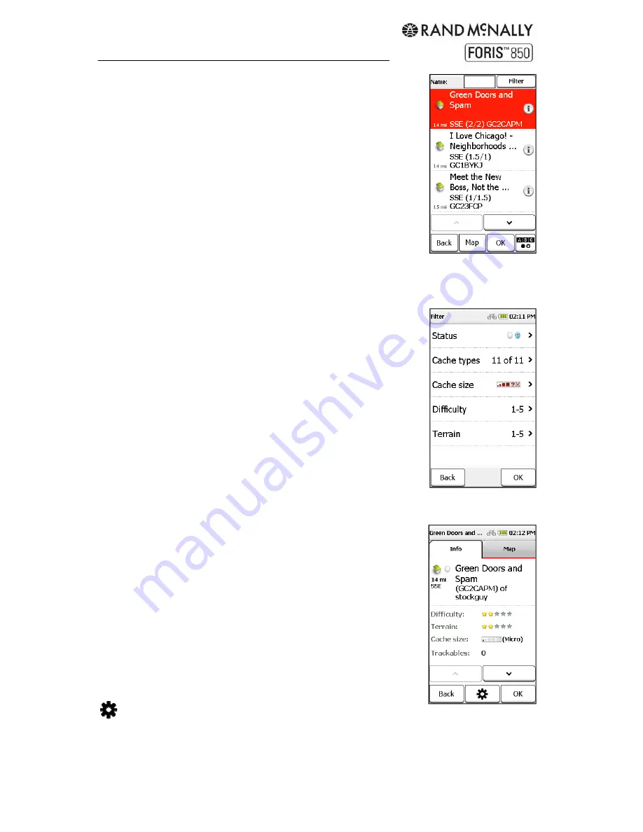
9.2.3 Detailed
view
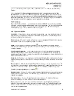
Display more information about the geocache and make edits and
comments.
Info
- Shows the cache description, distance and relevant details.
Use the arrows at the bottom to scroll.
Map
- Shows the cache and if applicable the waypoints on the
map. You can zoom in and out of the map and move it around.
Waypoints -
If the geocache has several specified waypoints, you
can display them in a list. These waypoints serve as starting
points, stages, or parking and are stored as additional information.
Options to edit the cache.
OK
- Starts the route calculation to this cache.
Back
- Goes back to the list of caches.
Содержание Foris 850
Страница 1: ...User Manual ...


