COMPASS-EI–Manual – Chapter 4
Page
19
4.
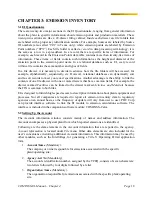
EPA Account #.
The EPA assigned account number for the facility.
5.
Owner / Operator Type.
Is the owner, operator or both.
6.
Nearest City.
The name of the city nearest the plant.
7.
Location Zip Code.
The zip code of the location of the site.
8.
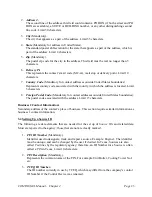
Plant Site Name
(Mandatory).
The name of plant site.
9.
Primary SIC.
Standard Industrial Code is 4-digit numeric code assigned by the US Government to the
business establishments to identify the primary business of the establishment. These
codes best describes the company's operations.
10.
Secondary SIC.
The general classifications code that best describes the company’s secondary operations.
11.
Major Source Type.
Represents the major emission source type in the company’s emissions inventory, which
will be assigned by the agency.
12.
UTM Zone.
Represents the zone for the UTM coordinate. In Texas, possible values for UTM Zone
are 13,14 and 15. The UTM Zone is a two-digit number.
13.
UTM N Meter.
Represents the UTM Northing coordinate in meters. The UTM N Meter must be a
number and at least 7 digits. This field can be a maximum of 9 digits in length, including
three decimal places.
14.
UTM E Meter.
Represents the UTM Easting coordinate in meters. The UTM E Meter must be a number
and at least 7 digits. This field can be a maximum of 9 digits in length, including three
decimal places.
15.
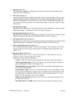
Plant Latitude.
The Plant Latitude represents Latitude of the geographical coordinate for this plant /
operating site. It must be a number containing between 6 and 9 digits including two
decimal places.
16.
Plant Longitude.
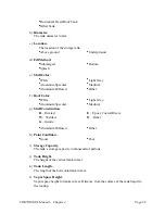
The Plant Longitude represents Longitude of the geographical coordinate for this plant /
operating site. It must be a number containing between 7 and 10 digits including two
decimal places.


