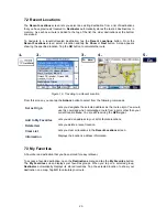
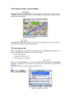
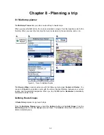
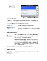

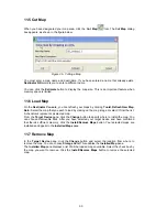

Figure 29 - Setting the Quick Nav Location
9.3 GPS Settings
Destinator ND
uses the
GPS
receiver to pinpoint your location.
GPS
signals are automatically
acquired and your vehicle's location and position are constantly updated unless you are working
in the
Browse Map
mode. The
GPS
may take a few minutes to find its initial location. For best
results, ensure that the
GPS
has a clear view of the sky.
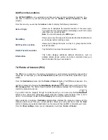
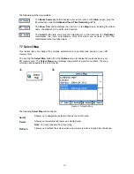
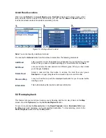
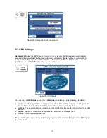
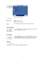
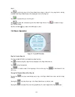
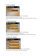
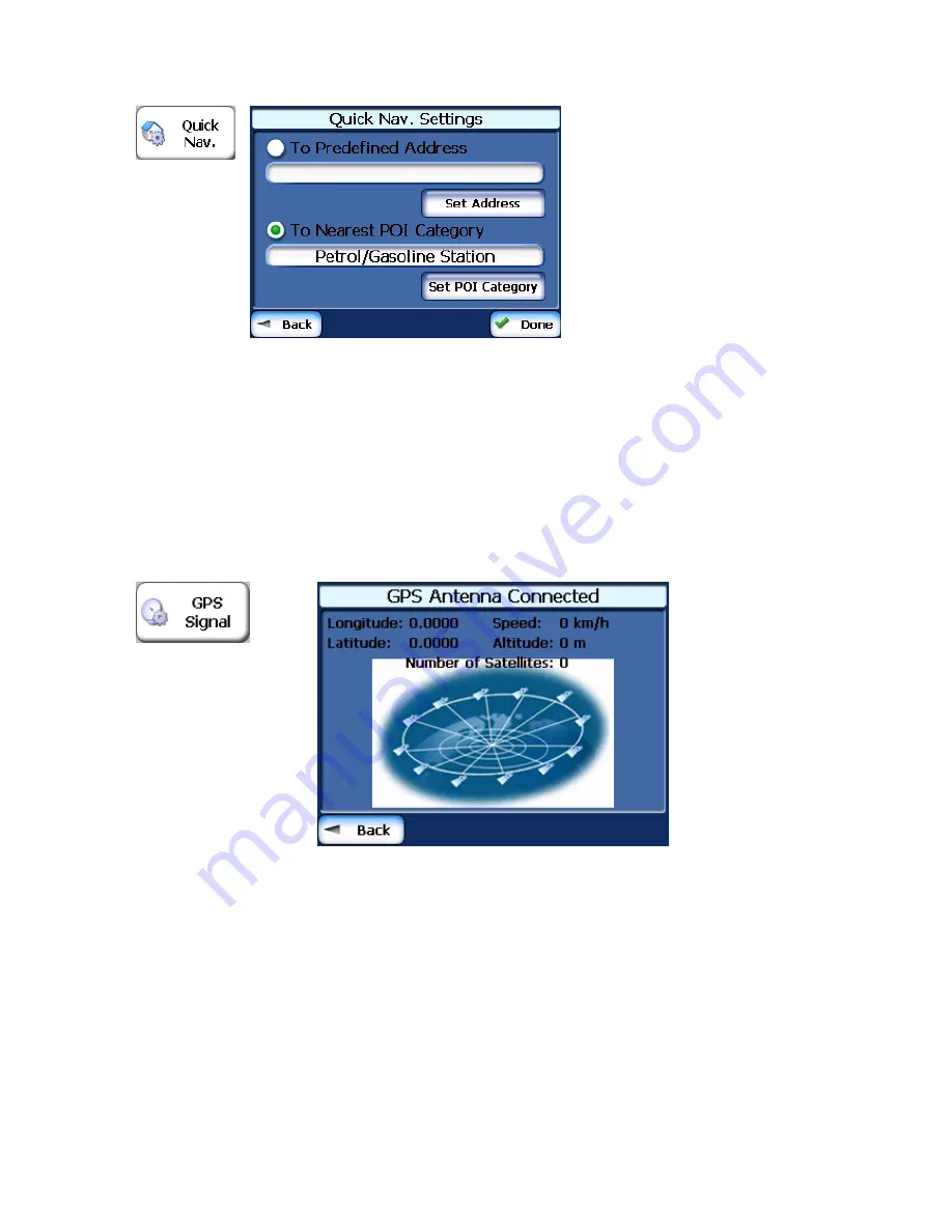
Figure 30 - GPS Status
You can tap the
GPS Status
button from the
Settings
menu to display the following information:
•
Longitude - The angular distance east or west on the earth's surface, as measured in degrees from
the meridian of a particular point to the prime meridian of Greenwich, England.
•
Latitude - The angular distance, measured north of south from the equator, of a point on the earth's
surface.
•
Speed - The rate of movement, as expressed by kilometers or miles per hour.
•
Altitude - The height above sea level.
The green lines that appear on the satellite image represent the satellites that are sending
GPS
signals
to your receiver.
38


