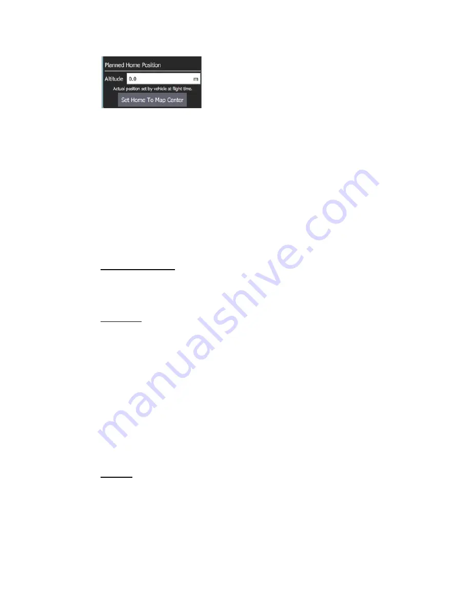
The Fly View displays the actual home position set by the vehicle firmware when
it arms (this where the vehicle will return in Return/RTL mode).
Plan Tools
The plan tools are used for adding individual waypoints, easing mission creation
for complicated geometries, uploading/downloading/saving/restoring missions,
and for navigating the map. The main tools are described below.
Note:
Center map, Zoom In, Zoom Out tools help users better view and
navigate the Plan view map (they don't affect the mission commands sent
to the vehicle).
Adding Waypoints: Click on the ‘Add Waypoint’ tool to activate it. While active,
clicking on the map will add a new mission waypoint at the clicked location. The
tool will stay active until you select it again. Once you have added a waypoint, you
can select it and drag it around to change its position.
File (Sync): The File tools are used to move missions between the ground station
and vehicle, and to save/restore them from files. The tool displays an (!) to indicate
that there are mission changes that you have not sent to the vehicle.
Note:
Before you fly a mission you must upload it to the vehicle.
The File tools provide the following functionality:
●
Upload (Send to vehicle)
●
Download (Load from vehicle)
●
Save/Save as to File, including as KML file.
●
Load from File
●
Remove All (removes all mission waypoints from Plan view and from
vehicle)
Pattern: The Pattern tool simplifies the creation of missions for flying complex
geometries, including surveys and structure scans.
Mission Command List
Mission commands for the current mission are listed on the right side of the view.
At the top are a set of options to switch between editing the mission, GeoFence
29
Содержание IF1200
Страница 1: ...IF1200 Hexacopter User Manual...
Страница 6: ...2 Flight Instructions 2 1 Tattu TA1200 Battery Charger 6...


