35
To switch back to the Lowrance map, repeat the previous steps. Switching
to the “Off” box in this menu switches all maps off, turning the display into
a plotter-only mode.
C-MAP Setup
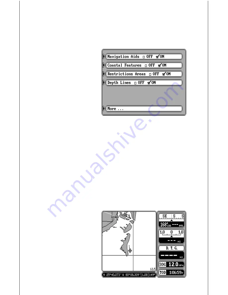
There are several options avail-
able to you if you’re using the C-
MAP system. C-MAP gives you
the capability to turn off or on
the map boundaries, naviga-
tion aids, coastal features, re-
stricted areas, and depth lines.
To change any of these fea-
tures, press the MENU key,
then press the key next to the
“Mapping Setup...” label. Now
press the key next to the “C-
MAP Setup...” label. The screen
shown at right appears. Simply press the key next to the label of the feature
you wish to change. When you’re finished, press the CLR key to return to
the map screen or press the key next to the “More” label to return to the
mapping setup menu.
CURSOR
The GlobalMap 2000 has moveable cursor lines that let you pinpoint
locations on the map, create waypoints, routes, and more.
There are two ways to activate the cursor lines. The first is to press the
CURSOR key. The second is to simply press any arrow key while the map
is displayed. Either way, you’ll see a screen similar to the one above. When
first turned on, the cursor lines intersect your present position on the
screen. The latitude/longitude box at the bottom of the screen changes
from your present position to
the position of the cursor lines
on the screen at the same time.
The distance and bearing from
the cursor lines to your present
position show next to the posi-
tion at the bottom of the screen.
To move the cursor lines any-
where on the screen, simply
press the arrow keys. You can
press two keys at the same


