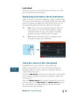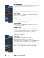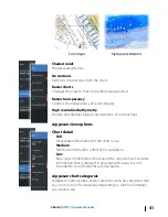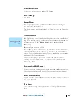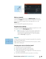
Land Exaggeration and Water Exaggeration
Graphical settings available in 3D mode only. Exaggeration is a
multiplier applied to the drawn height of hills on land, and troughs
in water to make them look taller or deeper.
Navionics charts
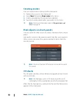
Navionics specific chart options
Orientation, Look ahead, 3D and change Chart source (previously
described in this section) are common for all chart types.
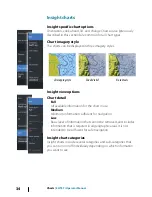
Community edits
Toggles on the chart layer including Navionics edits. These are user
information or edits uploaded to Navionics Community by users,
and made available in Navionics charts.
For more information, refer to Navionics information included with
your chart, or to Navionics website: www.navionics.com.
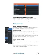
Navionics chart settings
Colored seabed areas
Used for displaying different depth areas in different shades of blue.
Annotation
Determines what area information, such as names of locations and
notes of areas, is available to display.
Charts
| ELITE Ti Operator Manual
35
Summary of Contents for ELITE TI
Page 1: ...ENGLISH ELITETi Operator Manual lowrance com...
Page 2: ......
Page 8: ...8 Preface ELITE Ti Operator Manual...
Page 107: ...Alarms ELITE Ti Operator Manual 107...
Page 122: ...122 Touchscreen operation ELITE Ti Operator Manual...
Page 129: ......
Page 130: ...988 11048 001 0980...


