Navigation System
23
Getting Started
AcuraLink Real-Time
Traffic™
The navigation screen can display
continuously updated traffic
information when available, including
flow (traffic speed), accidents, and
construction on freeways in major metro
areas.
The display of traffic flow and incidents
on the
map
screen is optional and can
be turned On/Off by selecting the
“Traffic” icon on the Icon bar (see
Showing Icons on the Map
on page 62).
The current metropolitan areas that have
traffic coverage can be seen on
page 148. For more current metro
coverage information, go to
www.acura.com/realtimetraffic
. This
link offers the following:
• The latest list of metro areas that have
AcuraLink Real-Time Traffic
coverage
• Detailed coverage information for
each metro area showing what roads
have traffic speed, traffic icons, or
both
• An AcuraLink Real-Time Traffic
demonstration
• Frequently asked questions (FAQs)
NOTE:
• AcuraLink Real-Time Traffic relies
on a satellite signal. It will not work
in Hawaii, Alaska, Canada, and
Puerto Rico.
• AcuraLink Real-Time Traffic is only
available if you have a current traffic
subscription with XM®. See
page 124.
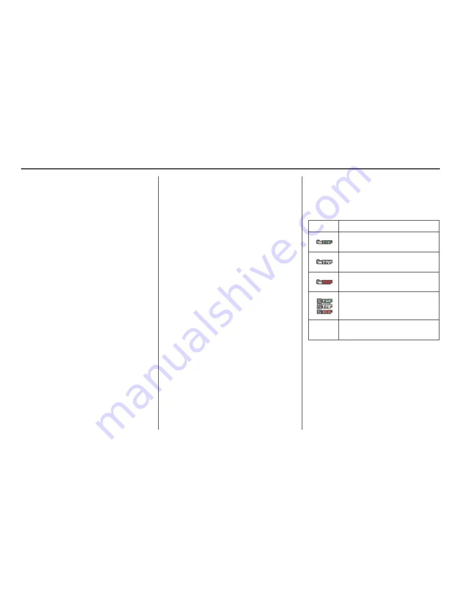
Traffic Status Indicator
You can confirm the reception status of
traffic information (traffic flow and
incidents). The “TRF” icon indicates the
following status:
NOTE:
• Traffic information can be turned on
or off. See
Showing Icons on the Map
on page 62.
• Traffic information can be displayed
on the 5 miles (8 km) or less map
scale.
Icon
Status
Traffic speeds and incidents
available.
Traffic speeds or incidents not
available.
Traffic speeds and incidents not
available.
•Traffic display turned off.
•Traffic not displayed on this
map scale.
Missing No traffic information available
(Out of coverage area).


