


56
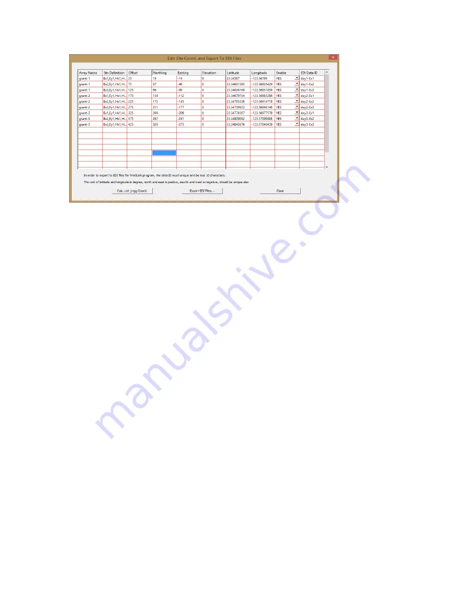
6) Click “Export EDI Files”
7) Navigate to the folder and location where you want the EDI files stored and click OK. The
save file name will be the will be the EDI Data ID with a “.EDI” extension, for example “day1-
Ex1.EDI”.
Note that the folder must have been created before this step is taken. The menu does not allow
the creation of a new folder here.
BB. Additional notes:
1) All fields can be edited in the table except for “Array Name” and the “Station Definition”.
For example if one or more of the sounding stations (Ex) are off line then the GPS coordinates
can be entered manually for those individual stations.
2) If incorrect GPS measurements were entered, you can re-enter the correct values in, then re-
calculate all values by clicking on the “Cal. Lat Long Coord” while the changed value is still
highlighted.
3) Any field sounding can be disabled by toggling the “Enable” field from “Yes” to “No”.
Export of Google Earth KMZ files for station locations
After the GPS locations have been calculated for each sounding those positions can be exported
as KMZ files for plotting their positions in Google Earth. In the example below click on “Export
KMZ File” to create Google Earth positions files for each sounding.


