33
Getting Started
Reference
Changing the Name —
Place the highlight over the name fi eld and press
ENTER
. Using the
ROCKER
(up/down) scroll through the alpha-numeric
list and make a selection. To move the next placeholder press the
ROCKER
to the right. When fi nished, press
ENTER
to accept the changes.
Changing the Location, Elevation or Depth —
Place the highlight on the
desired fi eld and press
ENTER
. Using the
ROCKER
, scroll through the
numeric list until the desired number is displayed. Press the
ROCKER
to the
right to move to the next character. When fi nished, press
ENTER
to accept
the changes.
Show Name on Maps —
When ‘Show Name on Maps’ is checked, the
waypoint name will be displayed on the Map Page. To check/uncheck the
box, place the highlight over that box and press
ENTER
.
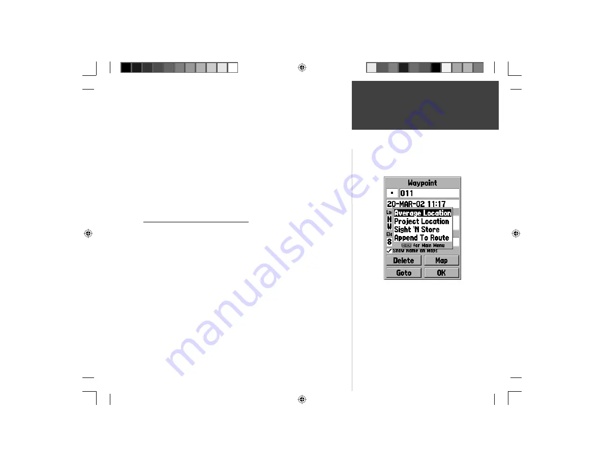
New, Mark and Waypoint Page Options
When the New, Mark or Waypoint Page is displayed pressing the
MENU
key will display an options menu. This menu contains four options, ‘Average
Location’, ‘Project Location’, ‘Sight ‘N Store’, and ‘Append to Route’.
Average Location —
When this option is selected, the Average Location Page
will be displayed and the unit will begin to take and average location read-
ings. The Location, Estimated Accuracy, Elevation and Measurement Count
will be displayed on the Average Location Page. When you are ready to save
the waypoint, with the ‘Save’ button highlighted, press
ENTER
.
New, Mark, and Waypoint Page Options
Editing Waypoints
Waypoint Pages Options
190-00249-00_0C.indd 33
5/7/2003, 9:54:48 AM


