


5.4.4.Importing from Other Sources using XML Position Files
Basically maps can be used from all available sources – if the map is „northed“ and the
coordinates of the corners are known.
The following guide is something for experts who know how to handle XML files etc.
Create a new text file with the following content:
<?xml version="1.0" encoding="UTF-8"?>
<mapImage>
<upperLeftCornerLat>39.633984000</upperLeftCornerLat>
<upperLeftCornerLon>-96.136794000</upperLeftCornerLon>
<lowerRightCornerLat>39.052152000</lowerRightCornerLat>
<lowerRightCornerLon>-95.040936000</lowerRightCornerLon>
</mapImage>
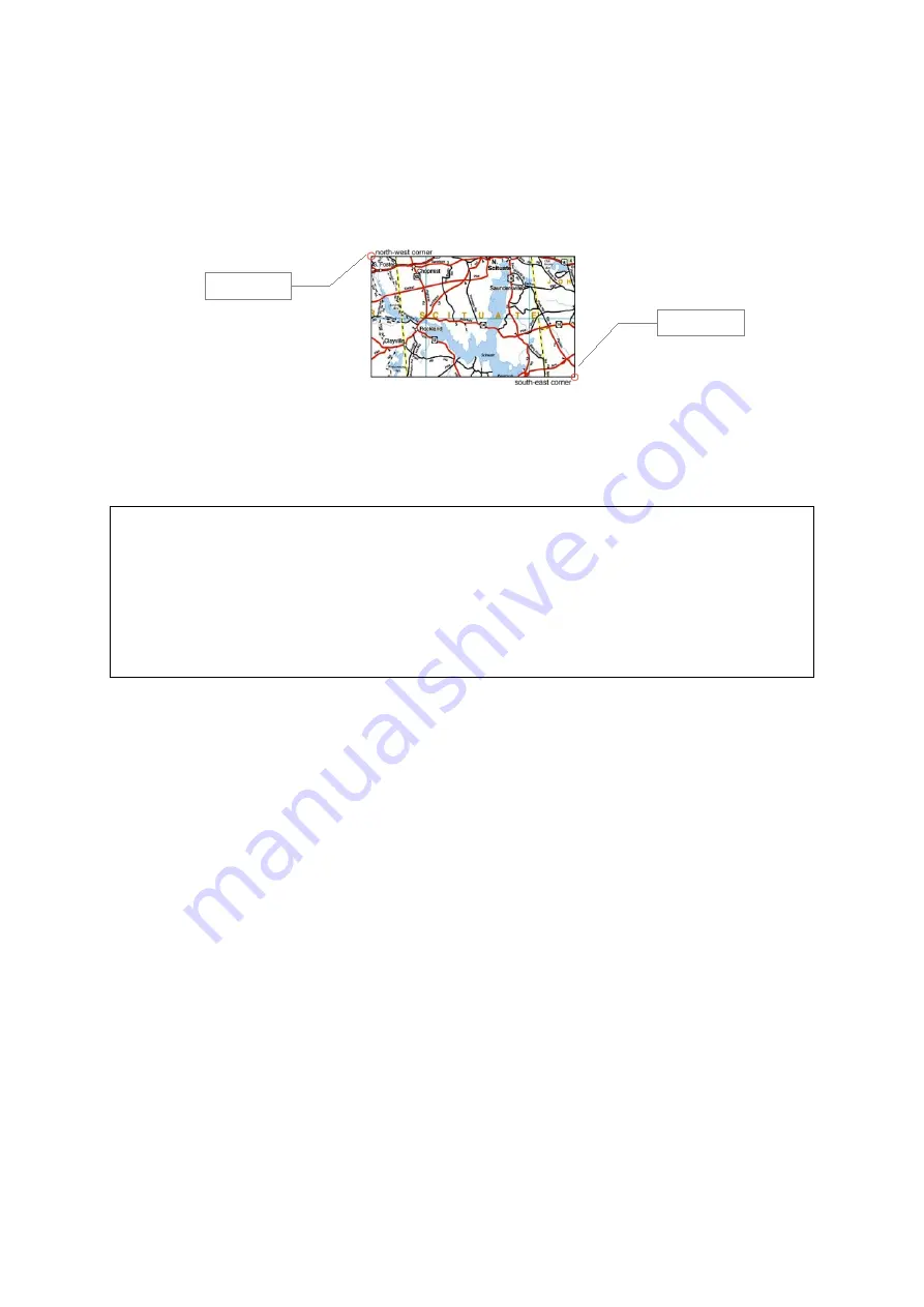
Insert the corner's coordinates of the map.
upperLeftCornerLat = Latitude NW corner
upperLeftCornerLon = Longitude NW corner
lowerRightCornerLat = Latitude SE corner
lowerRightCornerLon = Longitude SE corner
Save the file using the same file name as for the JPEG image file but with suffix „.xml“
instead of „.jpg“.
Copy both the image file and the XML file to your PDA into the directory „My
Documents/Run.GPS/map_images“. After that restart Run.GPS or execute the „Scan for
maps“ function (Configuration > Map Settings > Items on Map > Scan for Maps)
93
NW corner
SE corner


