ENGLISH
1
5.3.3 How to consult the Map when the measurement
function is active
To move manually on the map while the measurement function is active,
click on one of the eight arrows appearing at the edge of the map.
5.4 How to visualize the navigation data
In order to visualize the navigation data click the “Navigation Data”
button on the bar menu.
To hide the navigation data, press the “Navigation Data” button once
more, or activate another function. It is possible to customize the data
to be visualized: click the “Settings” button, select the “Nav data” folder
then choose the data you would like to visualize: Latitude, Longitude,
Speed Over Ground, Course Over Ground, Bearing, Distance To Go,
Time To Go. Click OK to confirm your choice and to go back to the Map
visualization.
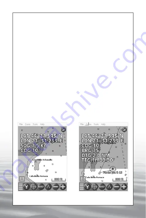
5.4.1 Navigation data with no active destination
When there is no active destination the navigation data consist of:
Latitude, Longitude, Speed over Ground (“SOG”) and Course over
Ground (“COG”) (IMG 11).
IMG 12 - Navigation data
with active destination
IMG 11 - Navigation data
with no active destination
offered by www.Busse-Yachtshop.de email: [email protected]


