ENGLISH
12
5.3 How to measure the distance from A to B
To activate the measurement function from A to B, click on the “Calliper”
button. To deactivate the function, click again on the calliper button.
5.3.1 Measuring with GPS signal
When the measurement function is active and the GPS receives the
signal, the starting point (A) is the GPS boat’s position; to define the final
point (B), click on the Map with the stylus.
The starting point (A) is updated as the GPS position changes.
To set a new starting point (A) different from the GPS position, click and
hold for more than 2 seconds.
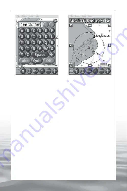
The Range line from A to B will be visualized, and the Bearing and the
Distance will appear on top of the display (IMG 10).
5.3.2 Measuring without GPS signal
The measurement function can be activated even when the GPS is not
receiving any signal, in this case the first click on the map will set the
starting point (A) while the following clicks will define the final point (B).
To change the starting point (A) click and hold for more than 2 seconds.
IMG 10 – Measurement function:
The Bearing and the Distance are
visualized on top of the display
IMG 9 -Virtual Keyboard
offered by www.Busse-Yachtshop.de email: [email protected]


