Exo x6a Operations Manual
revision 1
1st September 2013
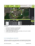
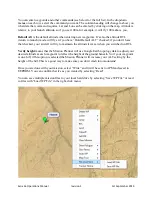
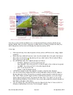
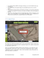
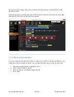
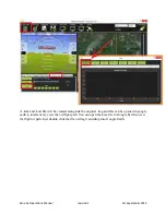
You can enter waypoints and other commands (see below for the full list). In the dropdown
menus on each row, select the command you want. The column heading will change to show you
what data that command requires. Lat and Lon can be entered by clicking on the map. Altitude is
relative to your launch altitude, so if you set 100m, for example, it will fly 100m above you.
Default Alt
is the default altitude when entering new waypoints. It‟s also the altitude RTL
(return to launch) mode will fly at if you have “Hold Default ALT” checked; if you don‟t have
that checked, your aircraft will try to maintain the altitude it was at when you switched on RTL.
Verify height
means that the Mission Planner will use Google Earth topology data to adjust your
desired altitude at each waypoint to reflect the height of the ground beneath. So if your waypoint
is on a hill, if this option is selected the Mission Planner will increase your ALT setting by the
height of the hill. This is a good way to make sure you don‟t crash into mountains!
Once you are done with your mission, select “Write” and it will be sent to APM and saved in
EEPROM. You can confirm that it‟s as you wanted by selecting “Read”
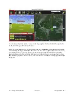
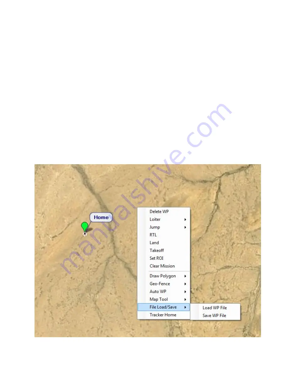
You can save multiple mission files to your local hard drive by selecting “Save WP File” or read
in files with “Load WP File” in the right-click menu:


