ZED-F9T - Integration Manual
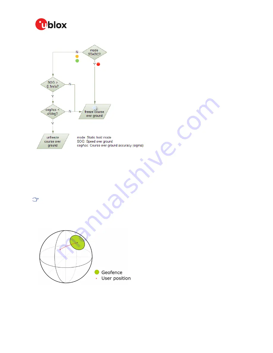
Figure 4: Flowchart of the course over ground freezing
3.1.7.6 Degraded navigation
Degraded navigation describes all navigation modes which use less than four satellite vehicles (SV).
3.1.7.6.1 2D navigation
If the receiver only has three SVs for calculating a position, the navigation algorithm uses a constant
altitude to compensate for the missing fourth SV. When a SV is lost after a successful 3D fix (min.
four SVs available), the altitude is kept constant at the last known value. This is called a 2D fix.
u-blox receivers do not calculate any navigation solution with less than three SVs.
3.2 Geofencing
3.2.1 Introduction
Figure 5: Geofence
The geofencing feature allows for the configuration of up to four circular areas (geofences) on the
Earth's surface. The receiver will then evaluate for each of these areas whether the current position
lies within the area or not and signal the state via UBX messaging and PIO toggling.
UBX-19005590 - R01
3 Receiver functionality
Page 20 of 80
Advance Information


