43
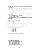
C/N is about 3500. Also in normal signal level, AGC is about 1800 and C/N is
about 3600. However these values can be changed by a weather condition or other
reasons.
GPS Data
User can check the current GPS data.
Heading Angle
SCS displays the ship’s heading angle when ACU accepts the NMEA signal from
ship’s gyro via NMEA port.
AHRS Data
SDA-390 has IMU(Inertial Measurement Unit) to measure the roll and pitch, yaw
angle. These values are used to search for and track the satellite. Also skew angle
is automatically changing using these values when vessel is rolling.
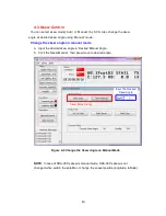
AHRS math roll and pitch, yaw are calculated by inverse kinematics when
antenna is tracking the satellite. Also this AHRS math yaw angle is displayed on
the ACU when antenna is tracking the satellite as below. This value is reliable to
use the heading angel of vessel when gyro compass is broken.
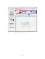
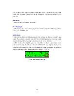
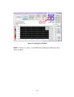
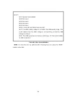
Figure 4-12 AHRS math yaw
Содержание SUPERTRACK SDA-390
Страница 7: ...3 Figure 2 2 Best Location II Figure 2 3 Antenna Blockages...
Страница 11: ...7 Figure 2 7 Tighten the nuts from below...
Страница 22: ...18 Figure 3 2 Antenna Control Unit Front Panel Figure 3 3 Antenna Control Unit Back Panel...
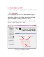
Страница 36: ...32 Connection Staus Display of LCD Figure 4 2 Connection Status SDA 390 with PC...
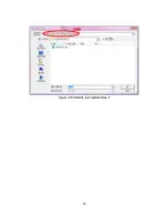
Страница 39: ...35 Figure 4 5 Satellite List Update Step 2...
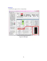
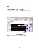
Страница 48: ...44 C N Graph You can see the graph of C N on Antenna State Figure 4 13 C N Graph...
Страница 55: ...51...
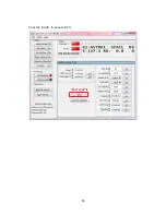
Страница 57: ...53 Click the SAVE to save to PCU...
Страница 58: ...54 Click the Auto Search to search the satellite Then SDA 390 search and track the desired satellite...
Страница 68: ...64 Appendix E Radome and Antenna Mounting Holes Layout Figure E 1 SDA 390 Plastic Radome Layout...

