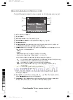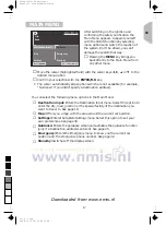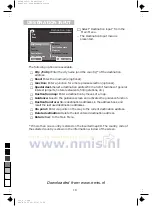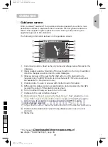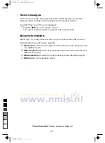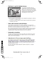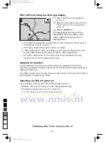
TMC traffic information with map display
☞
Select “Map” from the guidance
screen, or
☞
Select the car position map with the
“Map” option in the main control
menu, or
☞
Press the
MAP
key*.
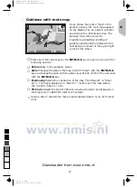
The display shows the map with the
latest TMC traffic information, when
traffic obstructions exist within the
displayed area.
•
With small map scales (for example 20 km, 50 km and 100 km) you see the
traffic situation as an overview.
•
With larger scales the situation is shown in detail.
•
Traffic obstructions which are ahead on your route are shown with a red
border, obstructions off the route are shown with a grey border.
•
For traffic obstructions off the route arrows may indicate the driving
direction for which the obstruction is valid.
Detailed information
Traffic obstructions covering a certain distance are displayed with driving
direction and length on larger map scales, for example slow-moving, queuing or
stationary traffic, etc.
The traffic density (slow-moving, queuing or stationary traffic) and the length of
the obstruction is marked by arrows.
Selecting the TMC information
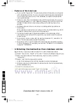
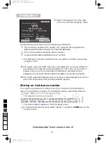
You can select which kind of TMC events (icons) are shown.
☞
Select “TMC events” from the route map (guidance map).
☞
Select the categories you want to be shown.
•
Urgent danger events cannot be switched off.
3024
21.09.1997
TMC
12:51
d
A64
30
0
5
25
75
95
100
520_e_5.chp
Thu Nov 12 09:33:56 1998
Farbprofil: Deaktiviert
Komposit Standardbildschirm
Downloaded from www.nmis.nl

