C
Current
Location
Indicator
Displays the current location of the Magellan RoadMate receiver in
relation to the displayed map.
Tap on the Current Location Indicator to get information on your
current location.
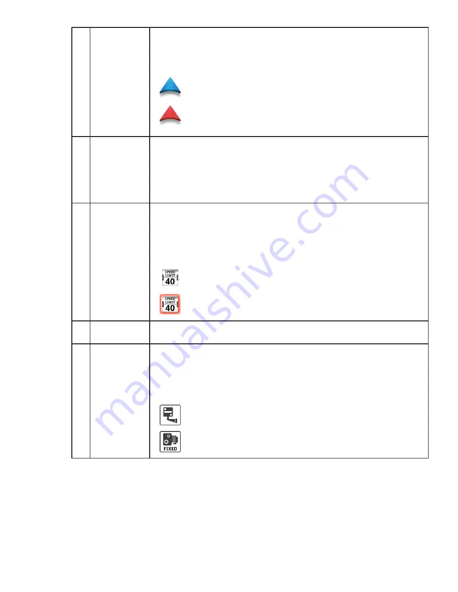
When the indicator is Blue, GPS signals are being
received and the current location has been computed.
When the indicator is Red, GPS signals are not being
received and the current location cannot be computed.
D
POI Icons
The Magellan RoadMate receiver uses various POI icons to
graphically display POIs for your surrounding area. Some of those
are pointed out in the graphic.
The POI graphic indicates the POI category.
To select which POI Icons are displayed, go to
‘Settings > Navigation & Maps > Points of Interest Visibility’.
E
Speed Limits
While traveling on major roads the speed limit for the road you are
on is displayed. When you have exceeded the posted speed limit,
the speed limit icon will have a red warning halo.
The Speed Limit Warning Threshold for highways and other roads
can be set in ‘Settings > Navigation & Maps’.
Current posted speed limit.
Exceeding the posted speed limit by the threshold set in
Settings > Navigation & Maps.
F
Data Field
Contains information about your speed, elevation, or certain other
items. See “Types of Data Available” on page 6.
Alert Icons
There are two standard alerts that can be displayed on the screen
when they are present in your area, Red Light Cameras and Fixed
Speed Cameras.
Location of a red light camera.
Location of a fixed speed camera.


