LX8000 (LX8080) Version 2.6
September 2011
Page 25 of 110
Select the required airspace and press
SELECT
. If a check mark is shown in front of an
airspace item, this airspace file will be shown in the graphics and used for proximity
calculation, when enabled.
To delete airspace file select the airspace item and press the
DELETE
button. Delete action
must be confirmed. Only user airspace files can be removed.
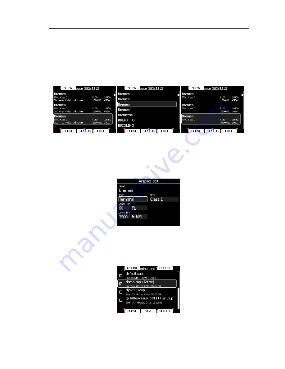
It is also possible to edit an airspace file. Select an airspace item and press the
EDIT
button. A list of all airspace zones in this database/file will be shown. Use the page selector
to scroll through the items one by one or the zoom selector to move up or down for a whole
page.
Pressing the
VIEW
button will toggle different views of the zone list.
Using the
STATUS
button the selected zone can be disabled for proximity warnings.
Repeated presses will toggle the following options:
•
OFF always
: proximity warning is switched off for all the time.
•
OFF today
: proximity warning is switched off for today only.
•
OFF hh:mm
: proximity warning is switched off for 10 minutes.
•
If
no label
is shown airspace is enabled for proximity warnings.
Press EDIT to edit data for the selected zone. Airspace type, class and altitude borders can
be modified in this dialogue.
5.1.5.4
Managing Way Points
Select the
Waypoints
menu item and press the
SELECT
button. A list of all available way
point files will be shown on the screen.
Multiple files can be selected. All checked files will be shown on the graphics page and used
in the near mode calculation, if the way point is of the proper type (airport or outlanding
Содержание LX8000
Страница 2: ......
Страница 81: ...LX8000 LX8080 Version 2 6 September 2011 Page 81 of 110 ...
Страница 110: ......


