Zoom all
—Click on this option, all the graphics will be displayed on the screen.
Zoom 1:1
—Click on this option, the view window will be displayed on a scale of 10 meters per
square.
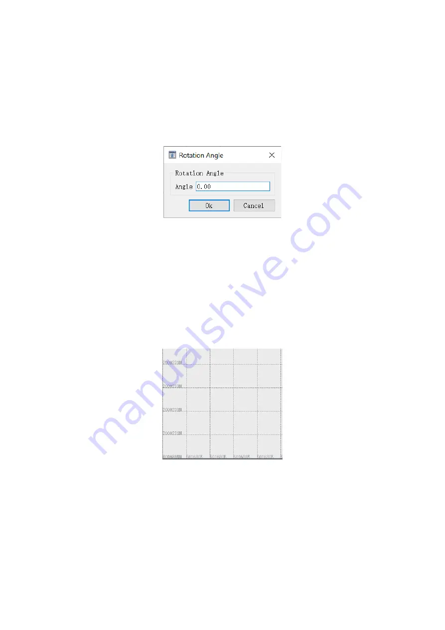
Rotate to degree
—Rotate the map by entering a rotation angle, enter a proper angle, then click
OK button, the map will rotate counterclockwise according to the input angle.
Fig.3-97 Rotation angle
Clockwise rotation
—Each time click on this option, the base map will rotate clockwise by 10°.
Contra rotate
—Each time click on this option, the base map will rotate counterclockwise by 10°.
North up
—Click on this option, the rotated map will recover to true north.
Grid switch
—The grid function is to display the coordinate ratio of the entire graph and provide
a reference for the base map in the software. The grid function is default turned on, to hide the
grid lines, click this option or the shortcut tool on the toolbar.
Fig.3-98 Grid
Display trackpoint
—Click on this option, the track of the ship's movement will be displayed in
the form of small black dots. As shown in the figure below, the small black dots between point 1
and point 2 are the track of ship.
Содержание SDE-28S
Страница 1: ...SDE 28S Digital Echo Sounder User Manual...


