Geophysical Survey Systems, Inc.
UtilityScan with GS Software
Manual
MN71-307 Rev B
13
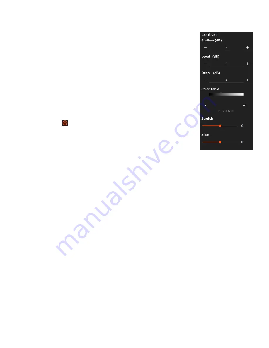
•
Shallow/Deep:
These control the display gain for the top or bottom 50% of the
time range only. They are useful if you want to brighten/dim only the top or
bottom half of your data.
•
Color Table:
Use the carousel wheel or +/- buttons to select from 31 different
color tables. The color distribution is shown in the color bar above the numerical
selector. Positive amplitudes will be assigned the color on the right, negative on
the left, and zero amplitude will be at the center.
•
Stretch:
This control allows you to use a single color palette to accentuate
different portions of the amplitude scale. Setting this to 1 will compress more
colors near to zero amplitude which will accentuate weaker reflections. A setting
of -1 will compress color values at the positive and negative extremes to
accentuate high amplitude reflections.
•
Slide:
Shifts the center of the color table associated with zero amplitude in
either the positive or negative direction. This can help to accentuate either the
positive or the negative amplitude values.
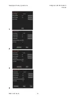
Calibrate SW
( ):
The calibrate survey wheel icon will only be visible when you
pause the data preview in collect mode or pause while actively collecting a data file.
Once selected you will have the option to use the factory default survey wheel value,
use the last calibration value, or recalibrate the survey wheel. To recalibrate the
survey wheel:
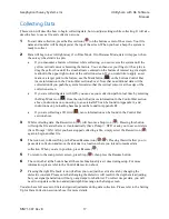
1
Select
Recalibrate SW
.
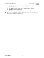
2
Set the desired calibration distance.
•
For Imperial units the distance options are 5, 10, 15, 30, or 100 feet.
•
For metric units they distance options are 1, 5, 10, 15, 20, or 30 meters.
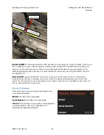
3
Press
Start Calibration
.
4
Move the system the desired distance (it is helpful to mark out the distance on the ground, or to
walk alongside a measuring tape).
5
Press
Stop Calibration
.
6
Press
Accept
.
It is recommended that you recalibrate your survey wheel every time the antenna is switched to a different
cart, or if you are working on terrain that is drastically different from the last collection site’s terrain. You
can check the accuracy of your survey wheel calibration by collecting a data file and walking the length
of your calibration distance, then looking at the distance readout in the top right of the collection screen.
If the distance is the same as your calibration distance, you have successfully recalibrated. If the distance
is drastically different than your calibration distance, it is recommended that you recalibrate the survey
wheel again.
Содержание UtilityScan 50350HS
Страница 1: ...MN27 151 Rev A MN71 307 Rev B ...
Страница 4: ...Geophysical Survey Systems Inc UtilityScan with GS Software Manual ...
Страница 6: ...Geophysical Survey Systems Inc UtilityScan with GS Software Manual ...
Страница 8: ...Geophysical Survey Systems Inc UtilityScan with GS Software Manual MN71 307 Rev B 2 ...
Страница 14: ...Geophysical Survey Systems Inc UtilityScan with GS Software Manual MN71 307 Rev B 8 ...
Страница 20: ...Geophysical Survey Systems Inc UtilityScan with GS Software Manual MN71 307 Rev B 14 1 2 3 4 ...
Страница 46: ...Geophysical Survey Systems Inc UtilityScan with GS Software Manual MN71 307 Rev B 40 ...
Страница 47: ...Geophysical Survey Systems Inc UtilityScan with GS Software Manual MN71 307 Rev B 41 ...


