115
Section 6
GPS Receiver
Reference
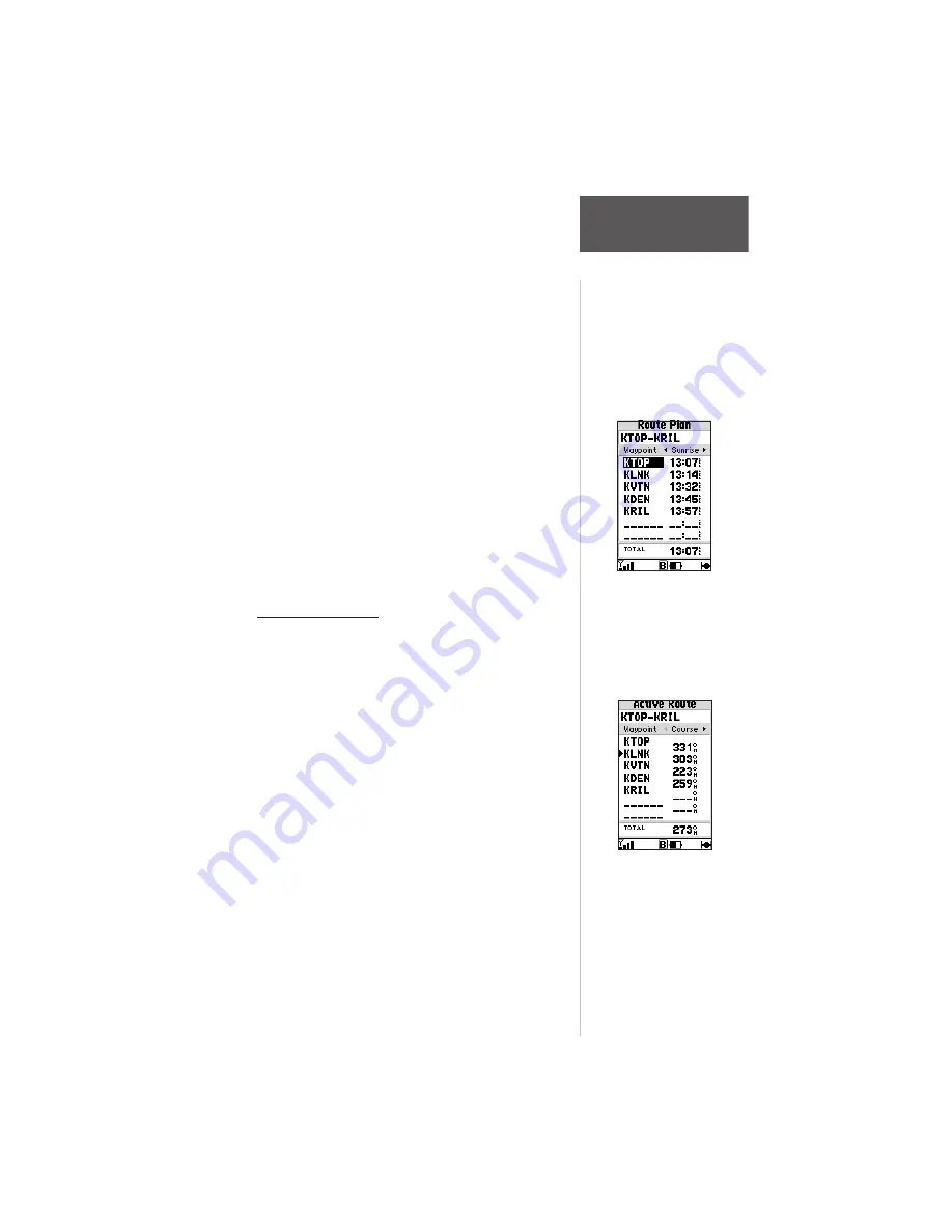
The Route Plan Edit page also displays trip planning
information for each leg or the entire route. Available
information includes desired course, time to waypoint,
distance to waypoint, required fuel and sunrise/sunset
times at the waypoint location.
To use the trip planning features:
1. To select the desired planning figure, highlight the
desired route from the Route List and press
ENTER
to display the Route Plan Edit Page. One of ten
available planning figures appears to the right of
each route waypoint. Use the LEFT/RIGHT arrow
keys on the keypad to select the desired item.
2. To enter planning information, Press
MENU
and
select ‘Setup Plan’ from the options list. Enter the
figures for speed, fuel flow and departure date. The
sunrise and sunset times at your destination will
also appear on this page.
Active Route Page
The last page appearing in the main sequence (using
the
PAGE
or
QUIT
keys) is the Active Route Page.
Whenever you have activated a route, GOTO or TracBack,
the Active Route Page will show each waypoint, by name,
of the active route, along with the desired course, distance
to waypoint, time to each waypoint, fuel requirements or
sunrise/sunset times at each route waypoint. As you
navigate the route, the information on the Active Route
Page will automatically update to indicate the destination
waypoint and any remaining interim waypoints.
From the Active Route Page, you can change the
name of the active route (see page 112), review informa-
tion on a route waypoint (see page 92) or bypass route
waypoints and GOTO any waypoint in the route (see page
67). The user-selectable data field on the right side of the
page also keeps you informed of current conditions.
There are ten different data items available. See Section 7
for descriptions of navigation terms.
With a route displayed,
use the LEFT/RIGHT
keys on the keypad to
select the trip planning
features.
The Active Route Page
shows the route
currently being used for
navigation guidance.


