26
RC400 GPS Chartplotter
Moving Around the Chart
The most common use of the chartplotter is to show your vessel’s current
location.
In the default North-Up orientation (shown as
NU
in the status box at the
top of the display), the vessel moves in relation to the screen. You will
need to reposition the chart if your vessel moves out of the area currently
displayed, or if you wish to examine or place waypoints in another area.
You can also
home
the cursor to the vessel using the
FIND SHIP
function.
“
Homing
” locks the vessel to the cursor and updates the display such that
the chart is re-drawn so that the vessel is always on screen. See
Using
FIND SHIP
below.
There are three ways in which you can reposition the chart:
•
Use the trackpad
to move the cursor to the edge of the chart; the chart
pans across. This method is useful if the area you wish to see is just off
screen.
•
Automatically re-center the vessel using the
FIND SHIP
function.
•
Change the chart scale using the
RANGE OUT
key to zoom out and in
to a new area. This method is useful if the area you wish to see is some
distance away.
Using FIND SHIP
FIND SHIP
is used to re-draw the chart with the vessel at its center and the
cursor homed on the vessel.
➤
To center the vessel:
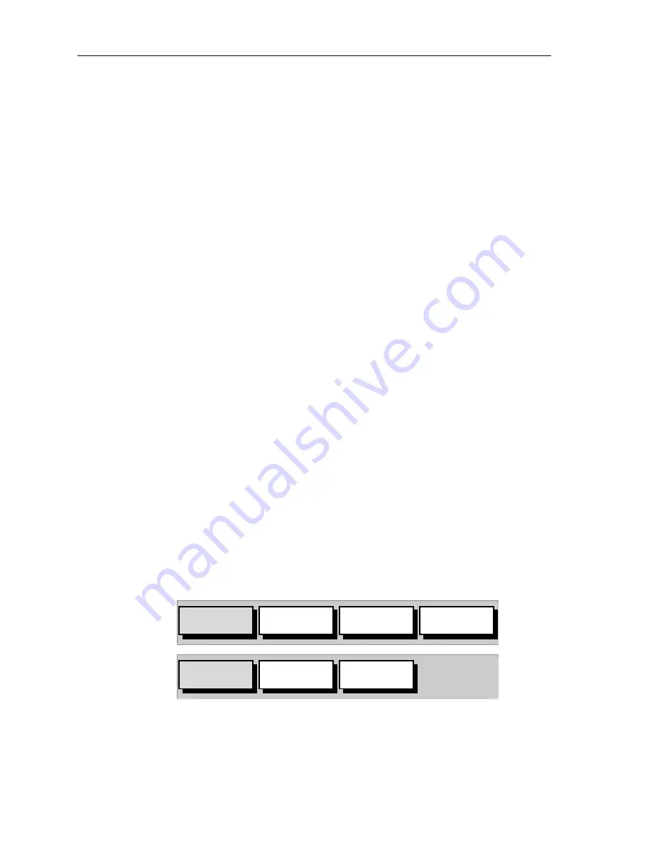
1. From chart mode, press
ENTER
; the primary function bar is dis-
played:
2. Select
FIND SHIP
; the following actions are performed:
• The chart is re-drawn with the vessel’s position in the center.
• The cursor is homed onto the vessel position and moves with it.
OBJECT
INFO
ARCHIVES
MORE¬
FIND SHIP
ROUTES
WAYPOINTS
MORE¬
D6233-1
Summary of Contents for RC400
Page 1: ...RC400 GPS Chartplotter Owner s Handbook Document Number 81237 2 Date August 2004...
Page 2: ...ii RC400 GPS Chartplotter...
Page 56: ...46 RC400 GPS Chartplotter...
Page 116: ...106 RC400 GPS Chartplotter...
Page 126: ...116 RC400 GPS Chartplotter...
Page 130: ...120...
Page 134: ...Warranty...
Page 136: ...Mounting Template...


