2.9 Exporting DXF Files (AutoCad®)
This option is available only in
GPS TrackMaker Professional®
Important:
To export DXF, always use UTM coordinates. This way you have a metric grid in AutoCad®. Make
sure that all data are in the same UTM zone before export. To see the UTM zones, modify the coordinate system
to UTM pressing
Tools-> Options-> Coordinates-> Rectangular Grids -> UTM. Also press CTRL G to see the grid
lines.
To export data to DXF format for AutoCAD® programs, choose
File > Save File as > AutoCad File.
GPS TrackMaker®
will make the export adopting the following criterion:
•
Tracklogs and Routes will be exported as
Polylines
•
Waypoints will be exported as text and small circles, with a central point.
•
The export datum will be the current datum of
GPS TrackMaker®
program
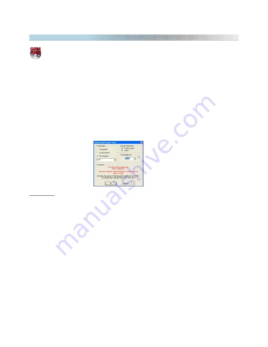
When exporting, the program will open a window with the following options:
Coordinates
Geographic:
Selecting this option, the data will be exported to geographic coordinates, in decimal format and
with twelve decimal places of accuracy.
Local
: This option is useful when the User wants to export the data to a unusual metric system of coordinates,
with origin (coordinates 0,0) defined in the lower left side of a rectangle bound to the data. This option will stay
enabled, even if the data is in different zones. Though, the User must be careful when using it in the export of
data that surpasses 6º of horizontal extension, because the errors in the edges can affect the data accuracy.
Rectangular :
Data Export in metric system, in rectangular coordinates, with two decimal places of accuracy.
This option will only be enabled if the data is in the same zone as one of the rectangular systems from
GPS
TrackMaker®
coordinates. The zone indication will be omitted when exporting. For further information about
rectangular coordinates systems, see
Configuring Coordinates System
.
19
Summary of Contents for TrackMaker
Page 1: ...1 www trackmaker com ...


