10 Calculations with Tracklogs, Routes and Waypoints
10.1 Topographic Surface x Cartographic Surface
This topic refers to exclusive functions of GTM PRO®.
Introduction
Survey work done with a GPS will not always correspond exactly to the local surface. It happens because the
handheld GPS can’t measure the direct distance between two points, like other topographical equipment such as
Total Station and Theodolite.
The GPS provides
GPS TrackMaker®
with the geographic coordinates of the ellipsoidal Earth surface, that must
be converted for an appropriate rectangular coordinate system (UTM for example), only after that, the distances
and the area are calculated. However, these distances will be related to the chosen cartographic surface and not
to the local topographical surface.
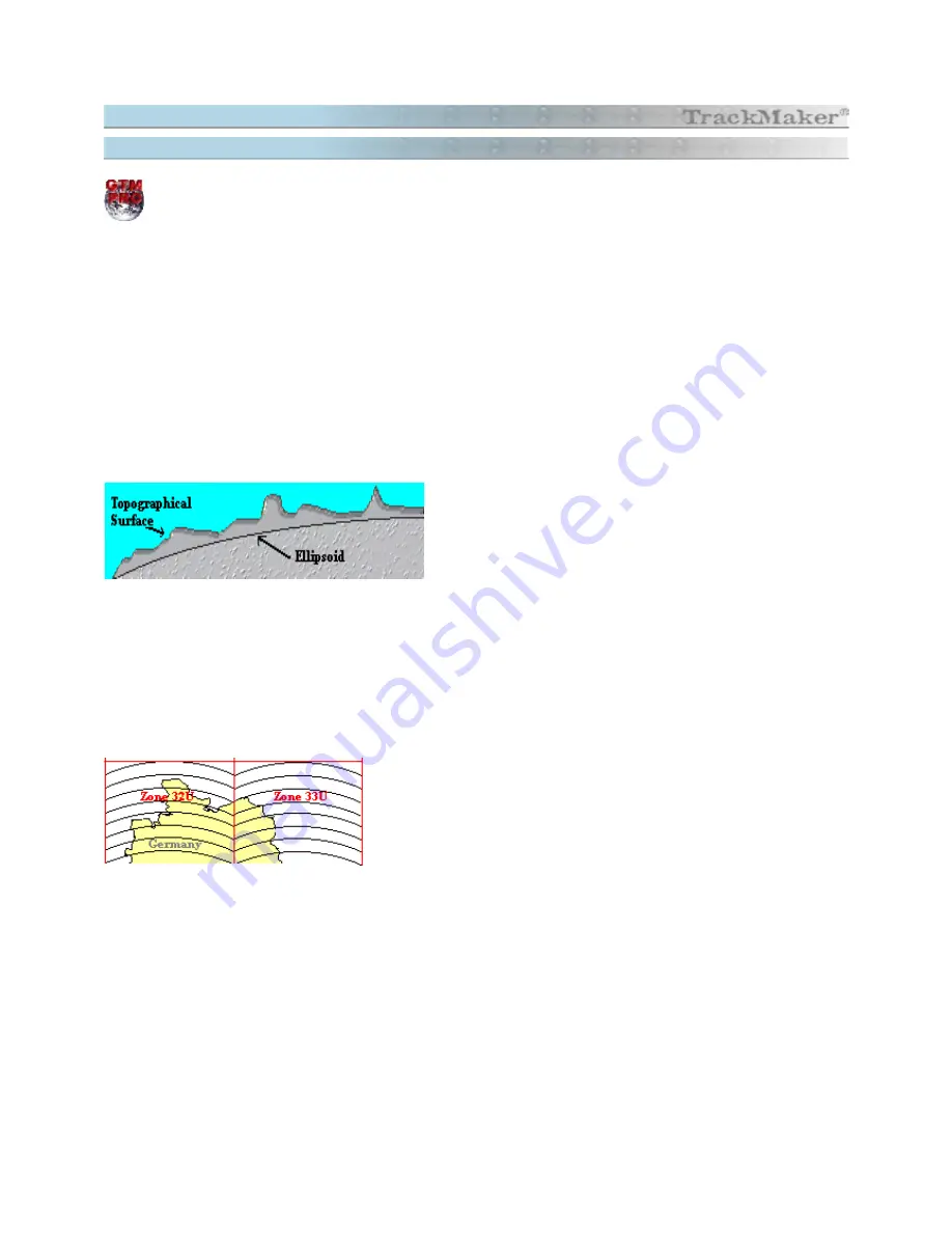
Several rectangular coordinate systems have the Earth’s
ellipsoid as a base that in most cases doesn't coincide with the
local topographical surface. The dimensions and the ellipsoid
shape can be defined choosing the most appropriate datum for
the region.
The cartographic grids try to represent the Earth’s curvature as a plane, suffering the influence of an angular
deformation called Meridian Convergence.
Meridian Convergence is the angle formed between the grid north and true north. Taking the UTM system as a
base, the closer to the central area of a UTM zone, smaller the value, getting to zero in the central meridian of the
UTM zone.
The side picture shows the north of Germany with its two UTM zones.
As an example, the meridian convergence is shown bigger than it really
is, indicating that in the central area of the zone the convergence angle
is zero and it is maximum in the extremities of the zone.
Notice that the same geometric picture in a UTM grid can present small shape variations if it is measured by a GPS
in the center of UTM zone or in its extremities. This variation can be seen in the area calculation and in length
calculation.
That’s why, it is necessary to distinguish between the cartographic surface and the local topographical surface.
The cartographic surface is obtained through complex mathematical formulas that consider the shape and the
Earth dimensions while the topographical surface considers the measures obtained directly in the local area,
representing the reality more correctly.
Example
114
Summary of Contents for TrackMaker
Page 1: ...1 www trackmaker com ...


