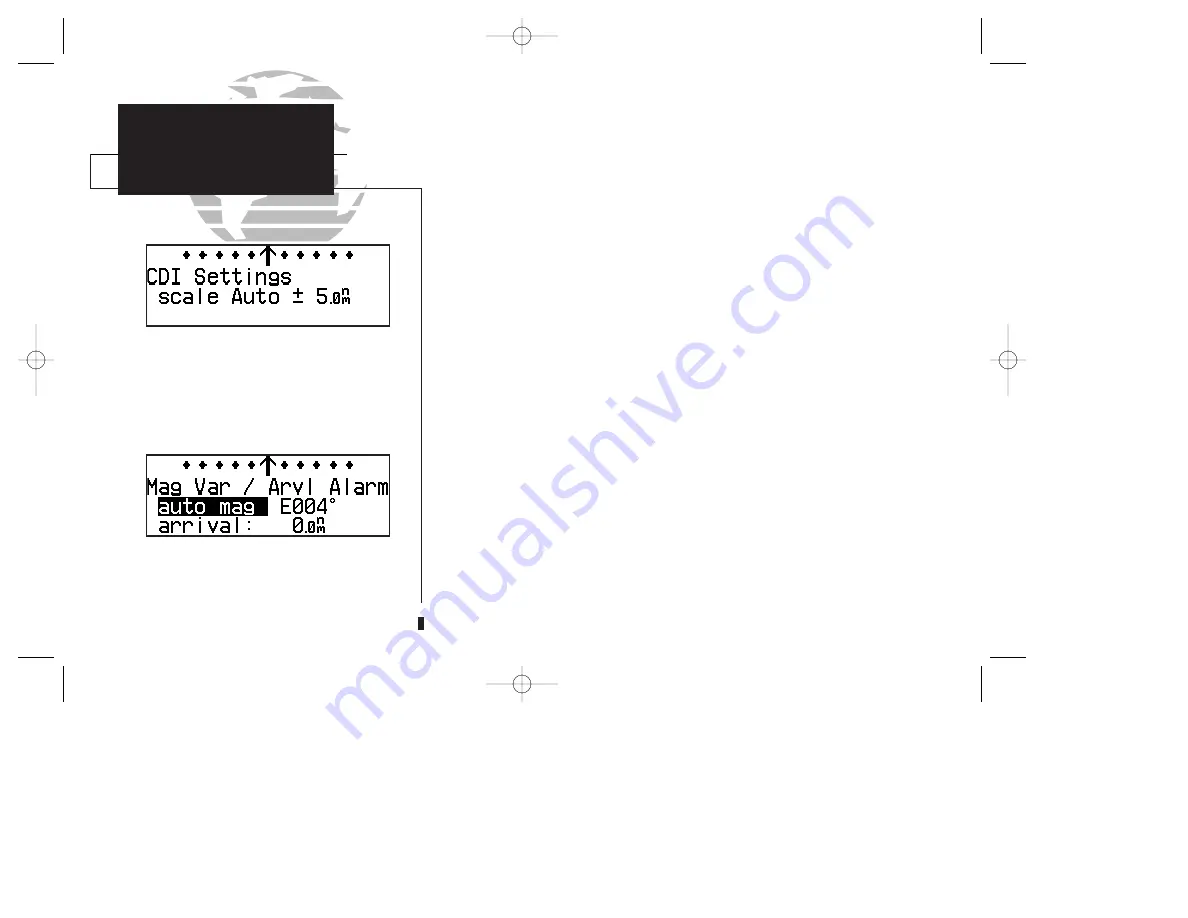
When the ‘auto’ CDI setting is selected, the
GPS 150XL will automatically change the CDI
scale when you are within 30 nm of a departure
or arrival airport.
SECTION
5
UNIT SETTINGS
Map Page Setup
CDI Settings
The ‘auto mag’ setting will automatically calculate
the magnetic variation based upon your current
position.
To enable/disable airspace boundaries on the map:
1. Press and hold
M
, then rotate
O
to select the ‘MAP Setup’ page.
2. Press
C
and rotate
O
to highlight ‘class B/cta’, ‘class C/tma’, ‘moa’,
‘restricted’ or ‘other sua’.
3. Rotate
K
to select the maximum map scale for the designated airspace type, or select
‘off’ to never display.
The next page under the settings submenu is the
CDI settings page
, which
allows you to define the scale of the GPS 150XL’s course deviation indicator.
To change the CDI scale:
1. Press and hold
M
, and rotate
O
to select the ‘CDI Settings’ page.
2. Press
C
and rotate
K
to select ‘Auto’, ‘+- 5.0 nm’, ‘
+
- 1.0 nm’ or ‘
+
- 0.3 nm’.
3. Rotate
O
to highlight ‘ok?’ and press
E
to approve.
(Note: The selected CDI scale will not take effect until approved.)
The scale values represent full scale deflection of the CDI to either side. The
default setting is
+
-
5.0 nm. The ‘Auto’ setting will start the CDI scale at 5 nm (en
route), and gradually ramp down the scale to the 1 nm range once you are within 30
nm of a departure or arrival airport (terminal area). For auto CDI scaling to occur,
you must have an active direct-to or route with an airport as your final destination
waypoint, or be within 30 nm of a departure airport. Note that the GPS 150XL uses
Receiver Autonomous Integrity Monitoring (RAIM)
to cross-check its position.
The RAIM protection limits listed below follow the selected CDI scale, changing auto-
matically with the ‘Auto’ setting:
CDI Scale
RAIM Protection
+/-5.0 nm or Auto (en route)
2.0 nm
+/- 1.0 nm or Auto (terminal)
1.0 nm
+/- 0.3 nm
0.3 nm
72
150xl manual B 8/4/98 1:10 PM Page 72


