MAN – FD800JBOX VER RJ45
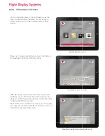
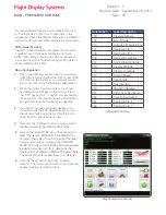
Moving Map Satellite View
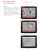
Data Page
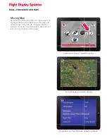
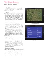
Satellite Maps
NASA satellite imagery maps display 5 customizable
zoom levels. By default, levels are set at 2900, 1250, 500,
150, and 50 nautical miles.
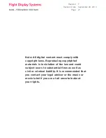
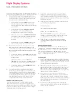
Data Pages
The 1st data page shows altitude, speed, distance to go,
estimated time enroute, and current time. The 2nd data
page shows distance traveled, time in fl ight, outside air
temperature, destination airport, and estimated time of
arrival. The second data page can be turned off, or both
pages can be turned off to show the data bar ticker at the
bottom of the map pages. Colors, units, and languages
can all be customized.
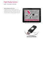
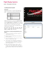
Additional Data Screens
The fi rst is the Graphic Statistics page, or “dashboard”.
This page shows speed, heading, and altitude in a
graphics format. The second is the world clocks page
which shows local times from at any 6 places you choose
(customizable). The third page is the Relative Locator that
points to the nearest large cities in relation to the aircraft’s
heading.
Most of the Moving Map features can be setup to
meet any customer’s specifi cations. We offer free pre-
confi guration of Moving Maps before they ship for easy
plug and play installation. The pre-confi guration form
can be downloaded from our website. If you have any
questions please contact our customer support staff at
470-239-7421.
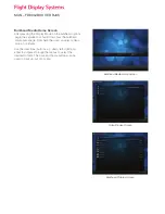
Navigation Confi guration
All Flight Management Systems output different data
and use different data busses to carry information. The
FD800JBOX VER RJ45 must be properly confi gured
to successfully work with the FMS or GPS it is reading
data from. The JetJukebox can be confi gured to use
either ARINC-429 for fl ight data (Universal, Rockwell
Collins, Honeywell, etc.) or RS-232 (Garmin, Trimble, KLN,
etc.). Flight Display Systems will confi gure the navigation
settings prior to shipping the FD800JBOX RJ45 if a pre-
confi guration form supplied.
USING ARINC-429 DATA
The FD800JBOX VER RJ45 contains a built in ARINC-429
bus reader that can accept high or low speed ARINC 429
data. The data is processed and used by the JetJukebox
to show information such as position, speed, altitude, etc.
The JetJukebox looks for the following 429 labels.
The FMS must be properly confi gured and outputting
data on an active ARINC- 429 high or low speed port.

