Copyright © 2022 DJI All Rights Reserved.
36
3.7 Data Storage
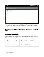
In manual flight mode, the collected point cloud data and RGB images (if RGB coloring enabled) are
saved in the micro SD card of L1 at DCIM/DJI_YYYYMMDDHHMM_serial number_XXX. You can
search for the data by time.
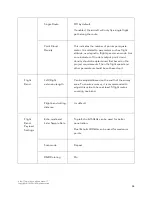
When a flight mission is completed, the collected data are saved in the DCIM folder of the micro SD
card and named after the mission name.
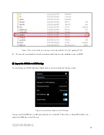
The LiDAR files should include files with suffixes of CLC (LIDAR camera calibration data), CLI (LIDAR
IMU calibration data), CMI (visual calibration data), IMU (inertial navigation data), LDR (LiDAR point
cloud raw data), MNF (visual data, which is currently omitted with no impact), RTB (RTK base station
data), RTK (RTK main antenna data), RTS (RTK sub-antenna data), and RTL (rod arm data). If model
coloring is enabled, there will also be JPG files (photo data).
Figure: Example of a test data folder and its contents
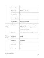
If the .RTB file is missing, it is because the RTK was not connected or was disconnected during the
flight. Please refer to
for the detailed requirements of RTK/PPK setup.
4. Processing L1 Data with DJI Terra
4.1 Prepare Your Computer
For L1 data processing, the computer must be equipped with an NVIDIA graphics card and at least 4
GB of VRAM. The CPU must be i5 or above, and 4 GB of memory is required for storing every 1 GB of
raw point cloud files. You can refer to the table below to determine the size of raw point cloud data to
be processed by Terra.


