Copyright © 2022 DJI All Rights Reserved.
24
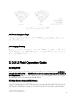
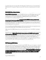
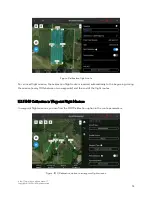
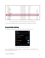
Figure: Click on the folder icon, then go to the map folder to find the “gsddsm.tif” file
B.
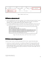
You can also download the terrain elevation data from an open database such as SRTM.
(2)
Import the DSM file to DJI Pilot App
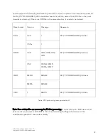
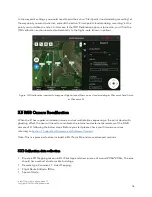
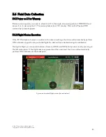
Terrain Follow and IMU calibration flight options can be enabled at the same time.
Figure: Terrain Follow Option in DJI Pilot App
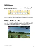
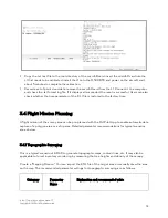
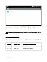
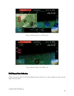
You can put the DSM file in a SD card and insert it to the RC. Then click on “Select DSM File” and
select the DSM file in the SD card.

