Installation and Operation Manual
58
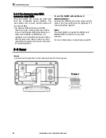
5-4-2 The Antenna by using NMEA
Antenna by using NMEA
The chart plotter can receive the GPS data
from the compatible device (NMEA). The
chart plotter can connect several devices to
an external GPS.
• An optional differential beacon DGPS
antenna to give enhanced accuracy within
range of land based differential beacons in
areas where WAAS or EGNOS are not
available. Such a DGPS antenna has both a
GPS receiver and a beacon receiver, and it
automatically applies the beacon correction
to the GPS position.
To set the DGPS options(None or
WAAS/EGNOS):
Connect the GPS directly to the input. Set the
option. The new setting will be displayed if it
was successfully applied.
Note:
The chart plotter can apply the WAAS and
EGNOS DGPS corrections to any GPS
antenna.
For more information, contact Samyung ENC.
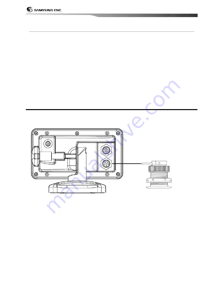
5-5 Sonar
Sonar
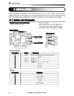
• Connect each equipment as the below picture for Sonar power.
Sonar
Содержание N430
Страница 1: ...Installation and Operation Manual 1 9...
Страница 2: ...Installation and Operation Manual 2...
Страница 4: ...Installation and Operation Manual 4...
Страница 61: ...Installation and Operation Manual 61...
Страница 62: ...Installation and Operation Manual 62...
Страница 63: ...Installation and Operation Manual 63...


