
46
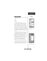
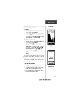
The interface options will
allow you to use a PC to
download waypoints, routes,
and track logs.
NMEA
stands for
“National Marine
Electronics Association”
and
RTCM
stands for
“Radio Technical
Commission for Maritime
Services”. Both are
involved in developing
technical standards for
the marine electronics
industry.
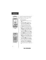
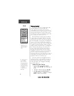
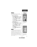
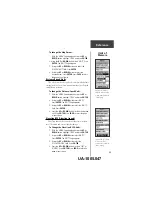
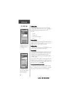
Pressure
To Change Pressure Units:
1. With the ‘MENU’ Page displayed using the
UP
or
DOWN
button highlight ‘SETUP’ and press
ENTER
.
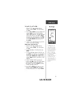
2. Using the
UP
or
DOWN
button select ‘UNITS’.
Press
ENTER
. The ‘UNITS’ Page appears.
3. Using the
UP
or
DOWN
button select the
‘PRESSURE’ field. Press
ENTER
.
4. Press the
UP
or
DOWN
button to select ‘INCHES’
or ‘MILLIBARS’. Press
ENTER
. Press
PAGE
to select
the page of your choice.
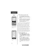
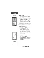
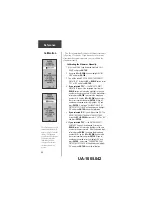
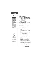
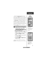
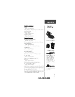
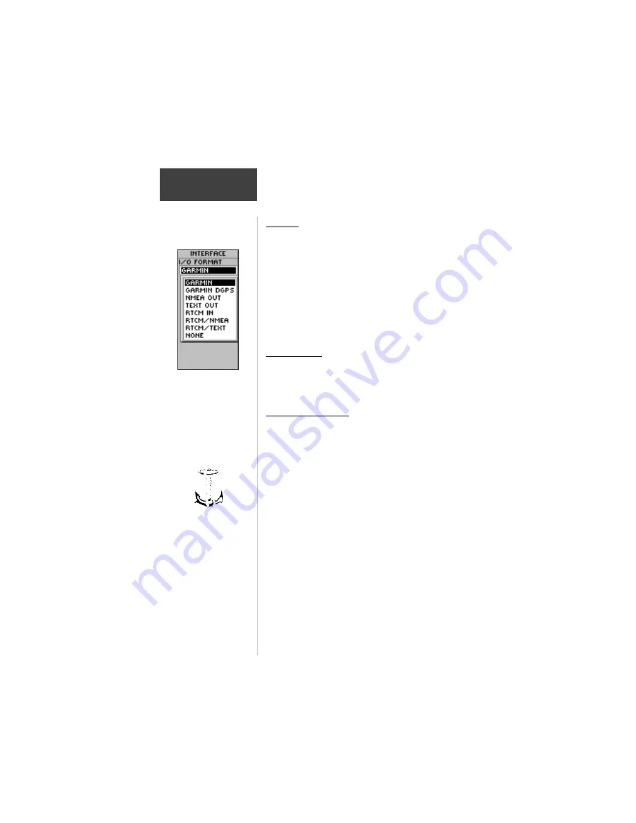
Interface Page
The Interface Page allows you to connect and use
devices such as computers and differential GPS (DGPS)
beacon receivers to the eTrex Summit. Below is a
description of the available formats.
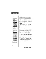
Input/Output Formats
•GARMIN
- the proprietary format used to
exchange waypoint, route, and track data with a
PC.
•GARMIN DGPS
- Allows DGPS input using a
GARMIN beacon receiver and a standard RTCM
SC-104 format and DGPS tuning.
•NMEA OUT
- supports the output of standard
NMEA 0183 version 2.0 data.
•TEXT OUT
- allows simple ASCII text output of
location and velocity information, without any
input capabilities.
•RTCM IN
- allows DGPS input using a standard
RTCM SC-104 format without any output capabilities.
•RTCM/NMEA
- allows DGPS input using a
standard RTCM SC-104 format andsupports the
output of standard NMEA 0183 version 2.0 data.
•RTCM/TEXT
- allows DGPS input using a standard
RTCM SC-104 format and simple ASCII text output
of location and velocity information.
•NONE
- Provides no interfacing capabilities.
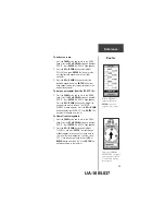
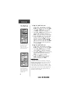
Units and
Interface Page
Reference
UA-1005.048


